The weeks that proceeded Christmas were hot and humid. Night temperatures didn't feel much better - it was quite uncomfortable. There were forecasts of thunderstorms on occasions but these never occurred in our area at least. The storm activity that did occur seemed to be more to the south where long anvil heads that stretched from west to east were visible in the south late in the afternoon or evening. However these would move east or dissipate. During the afternoon static from lightning was regular - you could hear this if you had an AM radio tuned to the lower end of the broadcast band. However this would become less as the afternoon wore on. Something had to give and it did. The area around Grafton experienced damaging severe storm activity.
I will now give you a day to day account of any significant weather that occurred in our area which is in Alstonville in northern NSW. Any reference to cloud cover I will refer to in octas (eighths). To work this out, imagine the sky as a big circle and divide it into eighths. e.g. three eighths is three octas. This method is used in aviation weather. CAVOK (ceiling and visibility) meaning sky clear and eight octas meaning sky completely overcast.
23 December 1997
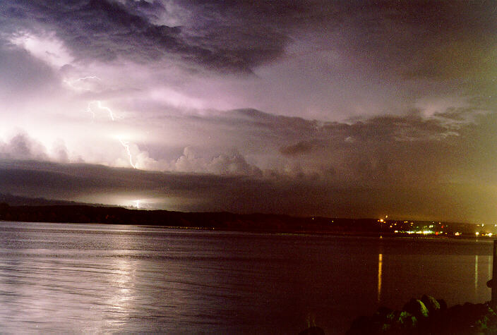
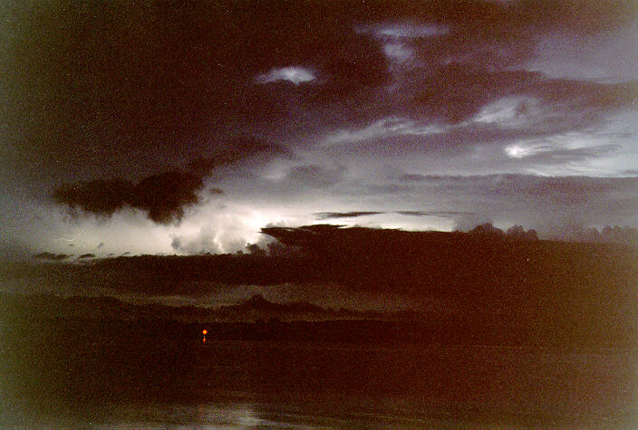
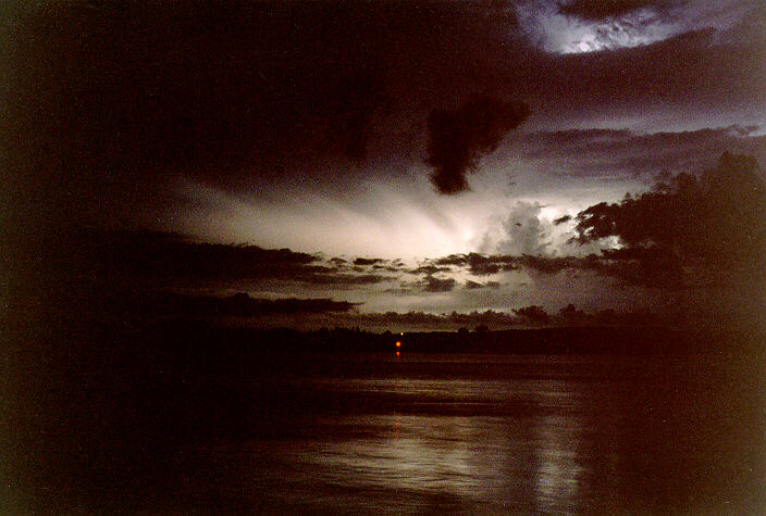
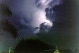
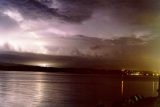
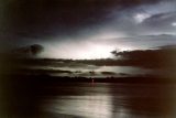
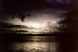
It is hard to remember the cloud that day but later in the evening lightning was seen to the southwest and west. It was slow moving and so gave the impression that not a lot would happen. About 11pm a storm did hit from the west and seemed to intensify. It produced lots of great lightning and occasional gusts of wind towards the beginning and then the rain was more constant. Only 7mm fell in that storm and within an hour or two it was gone.

24 December 1997
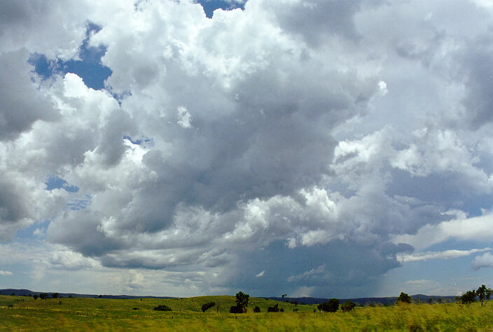
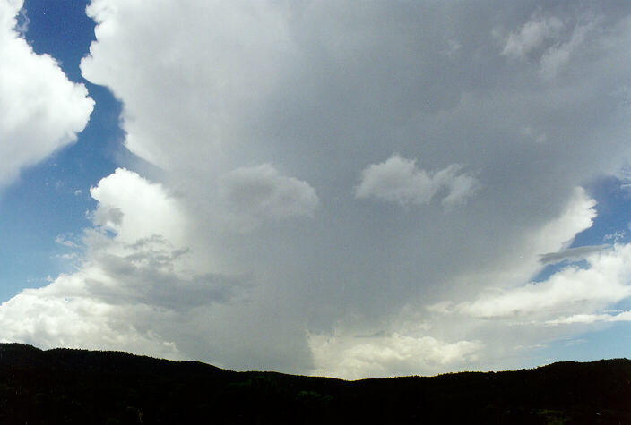
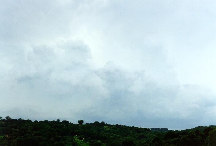
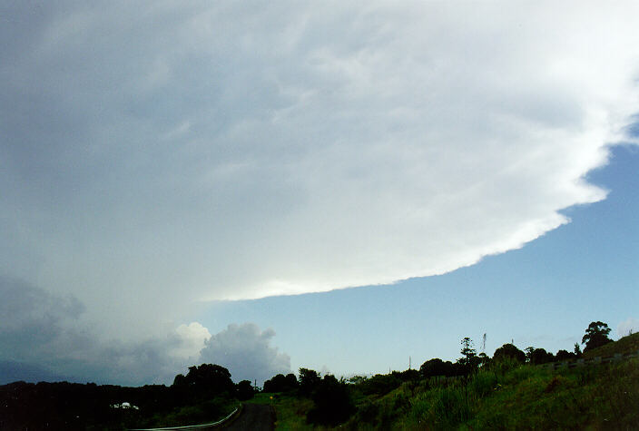
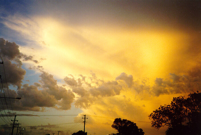
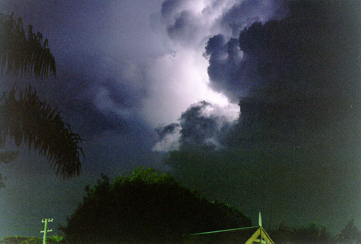
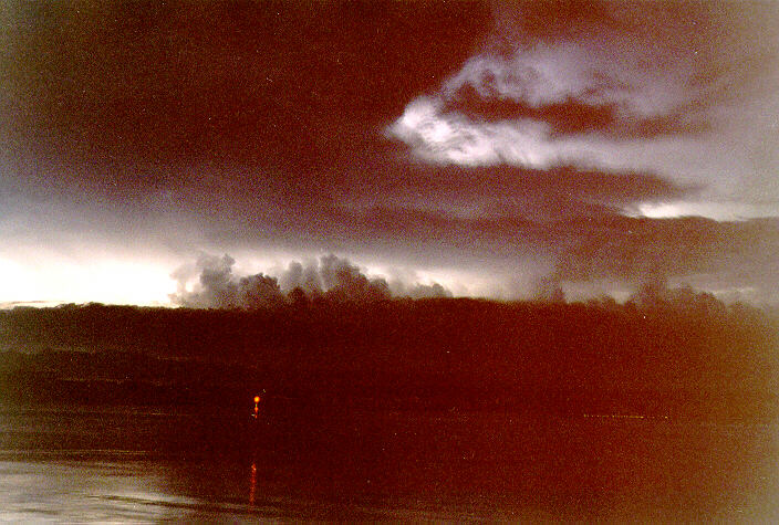
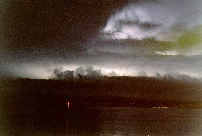
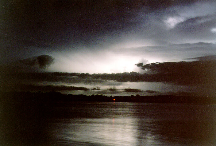
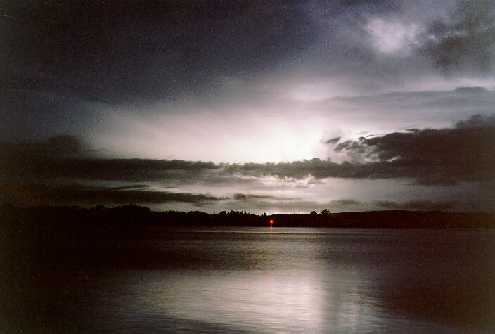
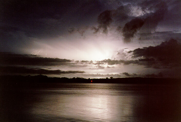
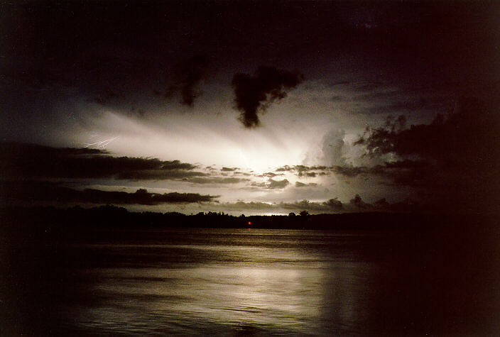
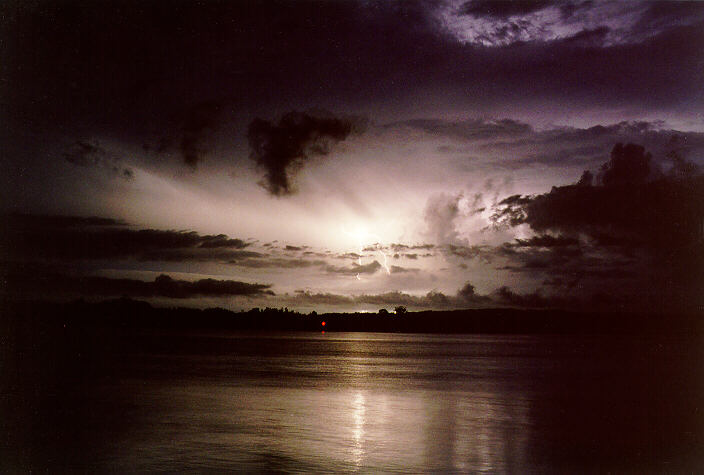
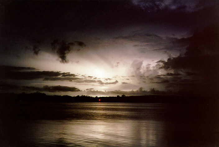
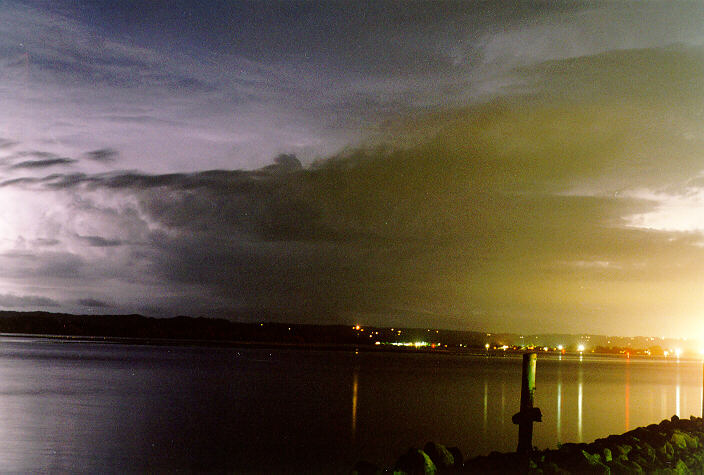
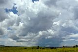
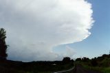
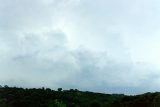
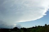
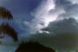
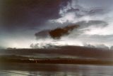
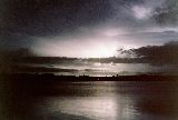
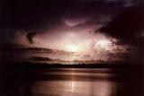
The morning seemed a little cooler giving the impression that a change had been through. Two octas of cirrus was moving away to the east. During the morning this gave way to developing cumulus which was about 4000 feet. By noon the cumulus had increased to about four octas and there was some growth by now. To the south there was a developing cumulonimbus and it was growing steadily. Thinking that this would pass to the east I found that other cells were developing to the west but it was this cell to the south that would prove interesting. By 4pm the top had risen giving a broader area of grey. Between 4 and 5pm the anvil had blocked the sun completely. This storm spread from east to west and so it wasn't hard to see the blue sky to the south. Areas west of us like Casino had the brunt of the storm and I think they had hail. There was a period of forked lightning with cracks of thunder - this was mainly to the west. The storm headed further northeast for we missed the heart of it. Very little rain fell. Thunder became gentler and less frequent. By 6pm the sun was out in the west-southwest. At dusk another cell was visible but didn't appear to be anything of great excitement. All was calm until about 10pm. There was occasional lightning to the southwest, but by 10:45pm lightning seemed to be happening to the southeast and a gentle rain fell. Within 20 minutes the sky came alive and lightning was all over the place. The main concentration was to the south and there was increased regularity to the southwest. The storm was in full swing where lightning was more regular then the previous night. The storm to the southwest was the most exciting. When this storm hit the thunder didn't just rumble, it crashed, and this occurred every third or fourth flash. It was over the top of us for the time between flash and crash was too short. My concern was the aerial on the roof, which may get a tickle from the lightning this didn't happen of course. Friends received damage to their computer and TV gear being caught unaware. A tree down the road from us must have been hit for flames and sparks were seen running up the tree. This storm continued until at least 1:30am on Christmas morning. During the whole storm it was one big noise and we received 25mm out of it though the rain didn't seem heavy at the time. There didn't seem to be much wind. What a great start to Christmas day a thunderstorm wrapped in a cumulonimbus.


25 December 1997
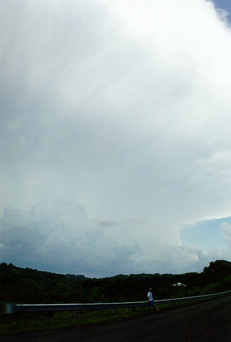
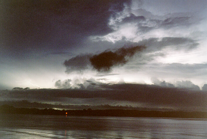
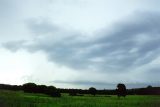
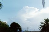
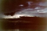
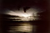
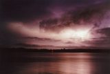
Christmas day brought humid weather with five octas of cumulus and two octas of cumulonimbus to the east off the coast. For part of the day it was thundery from storms off the coast, which were moving north. Conditions in the afternoon cleared.
26 December 1997
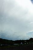
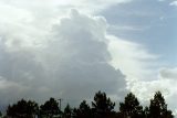
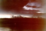
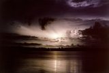
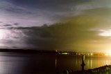
Boxing Day was hot and muggy. Around 4pm storm cells moved in from the west fairly quickly however nothing came of these. Again the usual storms were to the south by early evening and by 9:30pm a storm was centred to the southwest.


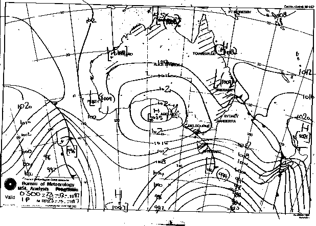
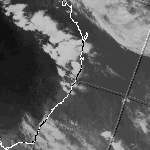
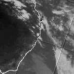
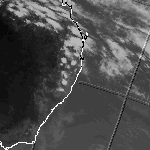
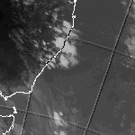
Synoptic Charts & Satellite Imagery
These images obtained from the Bureau of Meteorology
Infrared Satellite Image at 5pm local time 23rd to 26th
MSL Analysis 2 pm local time 23rd to 26th