and Chasing
[Index][Archives]
The Thunder Down Under Chase 2000 - Special Report: Episode 2
report compiled by Jimmy Deguara
| Storm News and Chasing [Index][Archives] |
The Thunder Down Under Chase 2000 - Special Report: Episode 2 report compiled by Jimmy Deguara |
The first priority
this morning was to make sure we could get out of Cunnumulla and away from any
flood blockages. There was no doubt it was going to be a long day if we wanted
some action. 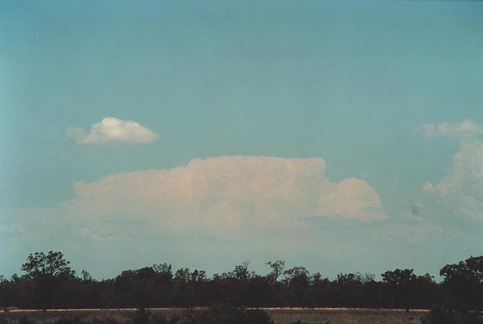 The
main activity was to occur east of and along the trough situated from St Georger
south to Moree and further southeast from there. The Northern Tablelands would
also fire due to their height acting as a trigger. I was expecting storms to move
north to northwest on this day calculated by the wind shear analysis. We were
able to finally make our way through and headed for St George arriving there for
lunch.
The
main activity was to occur east of and along the trough situated from St Georger
south to Moree and further southeast from there. The Northern Tablelands would
also fire due to their height acting as a trigger. I was expecting storms to move
north to northwest on this day calculated by the wind shear analysis. We were
able to finally make our way through and headed for St George arriving there for
lunch.
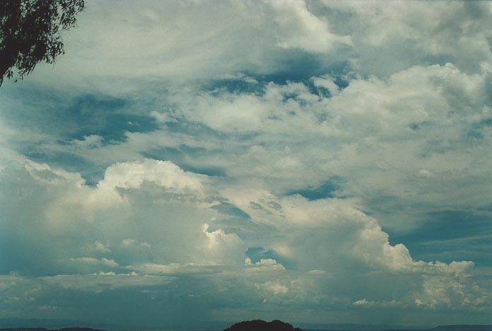
After St George, we headed to Goondiwindi and could see large cumulus already firing to the east - yes on the Northern Tablelands. We had two choices: remain along the trough say around Moree or travel to the Northern Tablelands. The large cumulus made up our minds.
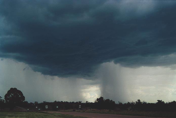
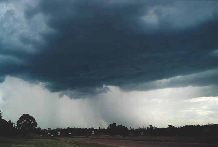
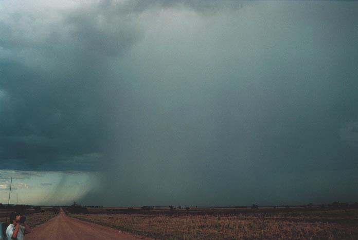
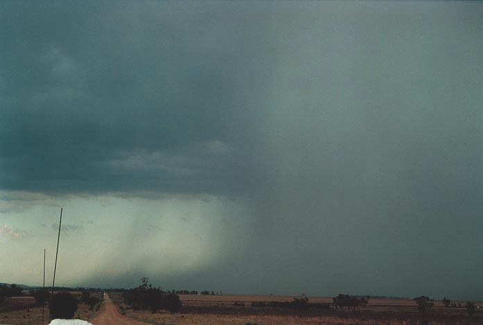
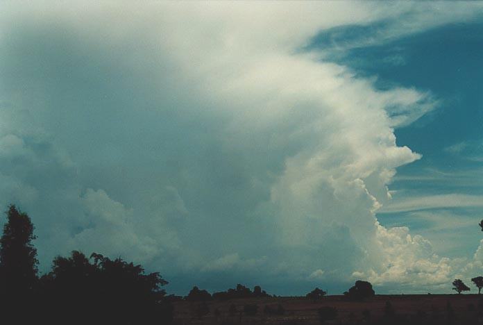
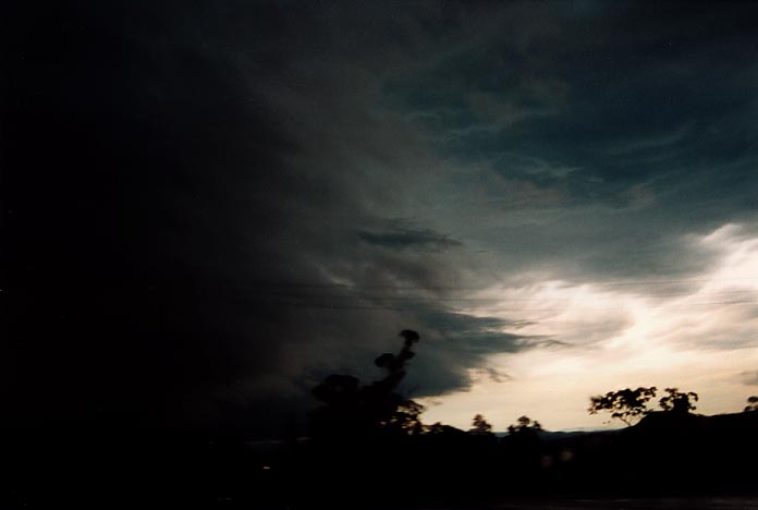
The closer we got to Warwick through Inglewood, the storms began to fire with impressive structure. Even though we were officially observing the rear of the storms, the storms were still going to edge north to northwest which became evident as we approached Warwick. With the threat of getting stuck, we headed west again and remained ahead of the gust front features. Some large drops fell on the way indicating some hail was occurring in the storms. We eventually made Lake Coolmunda our observation point (near Inglewood). Besides some impressive lowerings along the advancing gust front, and although the storms were severe, it wasn't the best of storm days. However, considering we had travelled over 900km that day, I think we enjoyed the change from no storms in the few days prior to this event. We later heard Boggabri (north of Gunnedah) had been severely damaged by severe microbursts; the first of three consecutive days of damaging storms in the town.
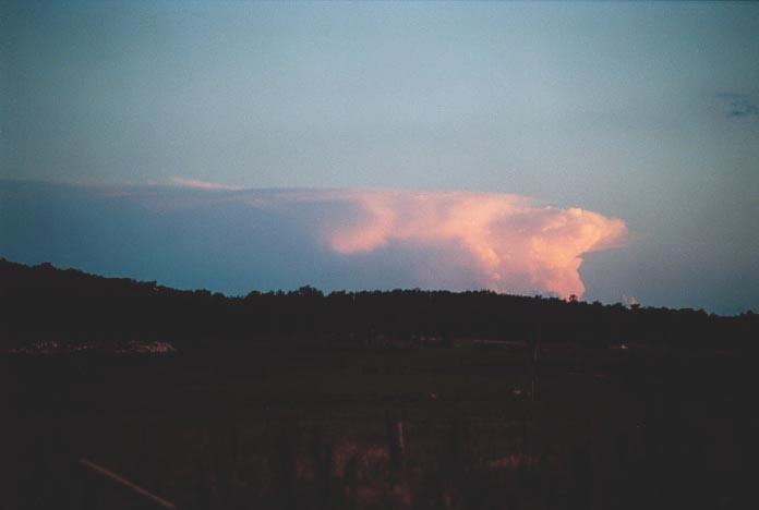
This was to be one of the most unique days on the chase. It was to me a surprise packet on a day I expected thunderstorms further east, if any!! I must hand this one to Clyve who suggested the ridge along the coastal ranges would suppress any activity. Once I saw the cumulus were not doing much, I agreed. I knew thunderstorms would fire around the Central Tablelands and south of there but not around Mullaley!!!
 We
had met up with the other group, Andrew MacDonald and crew who had been joined
by the three other chasers. This was the only day we were together as one group
- or perhaps the only morning... Part of the group made their way ahead earlier.
We
had met up with the other group, Andrew MacDonald and crew who had been joined
by the three other chasers. This was the only day we were together as one group
- or perhaps the only morning... Part of the group made their way ahead earlier.
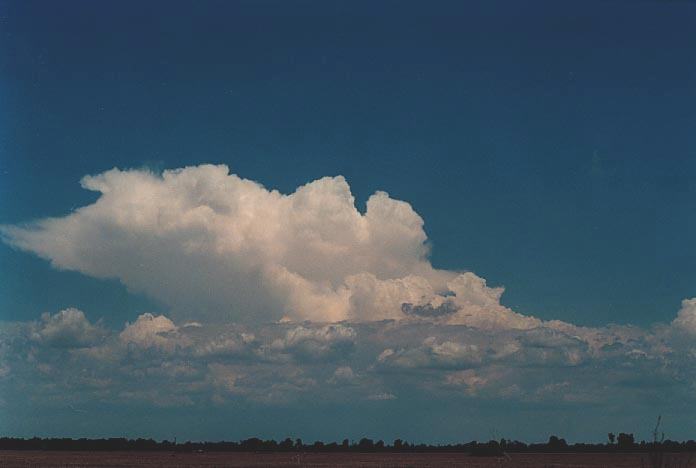
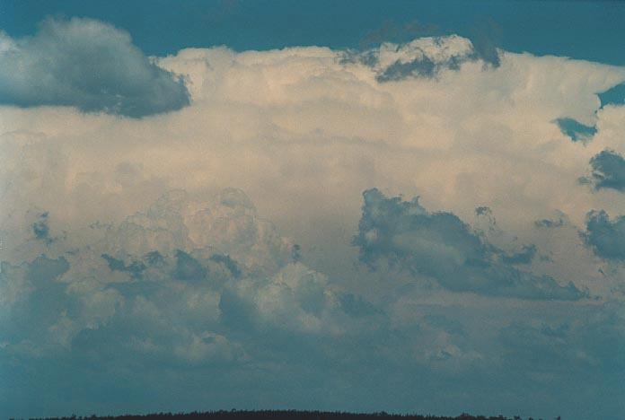
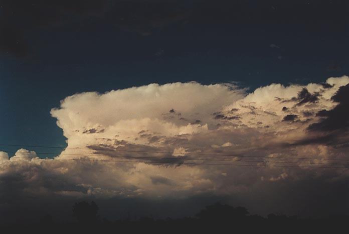
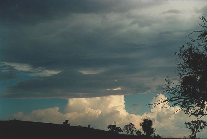
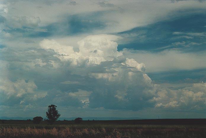
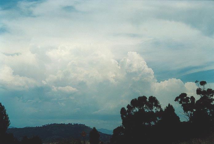
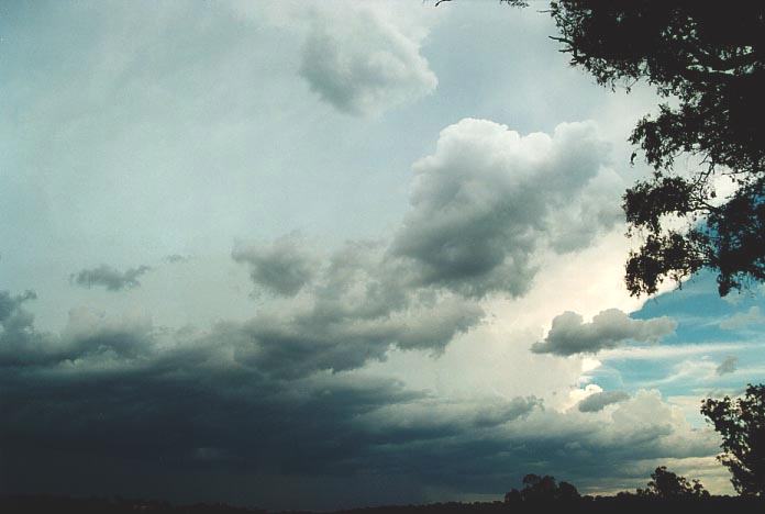
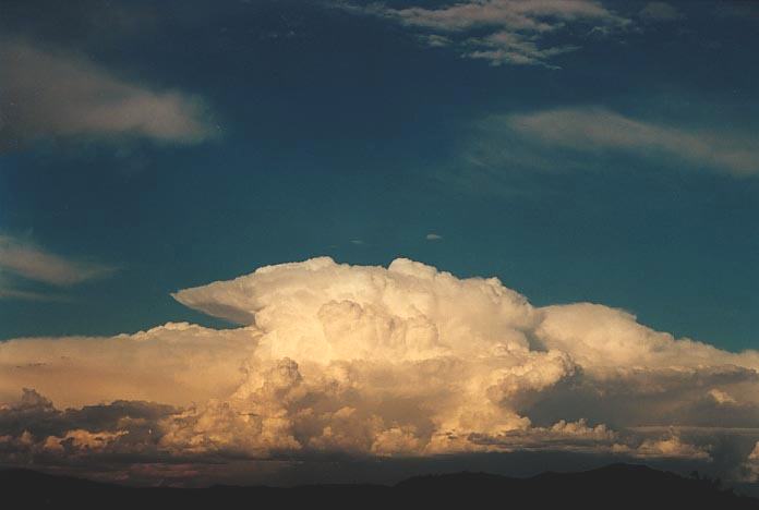
We eventually headed towards Tamworth and were interested in heading further south. On approach to Tamworth, we could see an anvil and the body of a storm which seemed to persist. The anvil faced north. Soon another one developed and also spread its anvil northwards. We were heading gradually towards the activity. It was quite impressive as since there was drier air creating the strong cap in the middle layers particularly, strong updraughts were towering each time. The anvils were merging and persisting. It was also ideal conditions for microbursts.
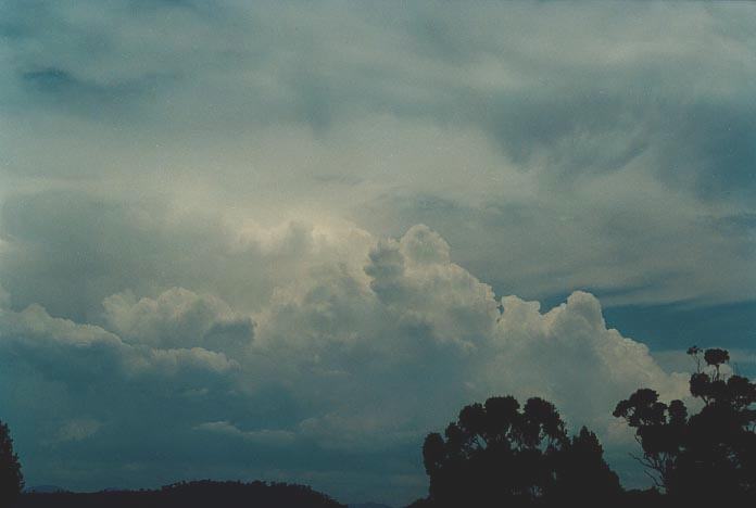
As we approached Mullaley, the rain free base and thick precipitation cascades combined for excellent contrast. When the next downdraught and precipitation developed, I commented on the slight rotation there was occurring; perhaps due to the development of the precipitation cascade. Now this was quite plausible as the anvil was directed north and this was occurring in the persistent rain-free base region slightly to the northwest.
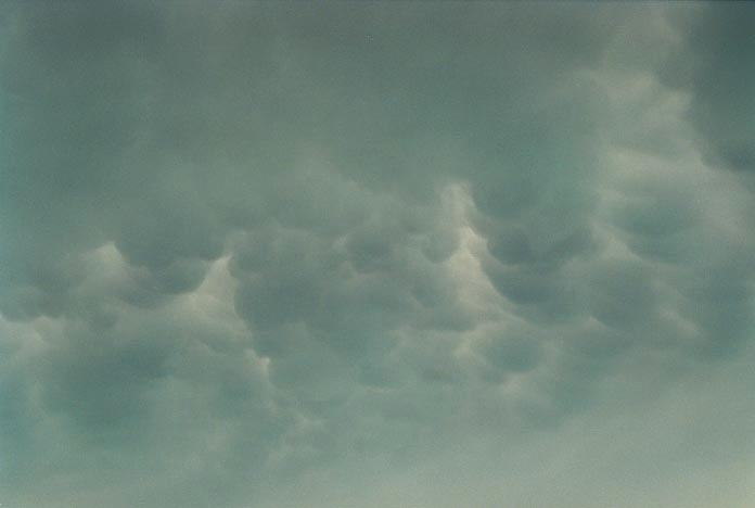
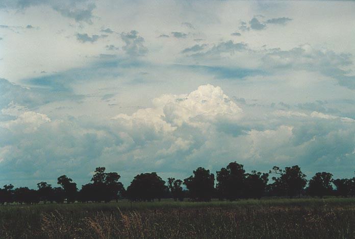
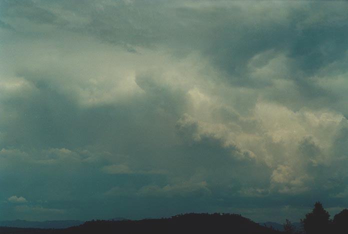
This seemed to persist despite the storm showing the structure of a pulse thunderstorm. The anvil got larger as we observed the rain and downbursts hit. We then observed the storm from the other side. I feel responsible for not staying ahead of the event and telling the others to ride it out. Clyve had suggested to move ahead of it. Oh well these things happen.
The other group had met up yet again as this was the only thunderstorm developing in the area of northern New South Wales. We watched as micobursts developed with the storm edging its way to Boggabri. Andrew MacDonald made a comment about what looked like a rain strand to me as being a possible tornado. He certainly has good eyes as viewing the tape indicated a very fine funnel slowly getting hidden by the microbursts. Read his account of this tornadic observation at the following link:
Severe Storms at Boggabri and Mullaley: 27-28th November 2000
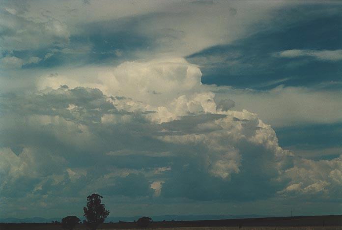
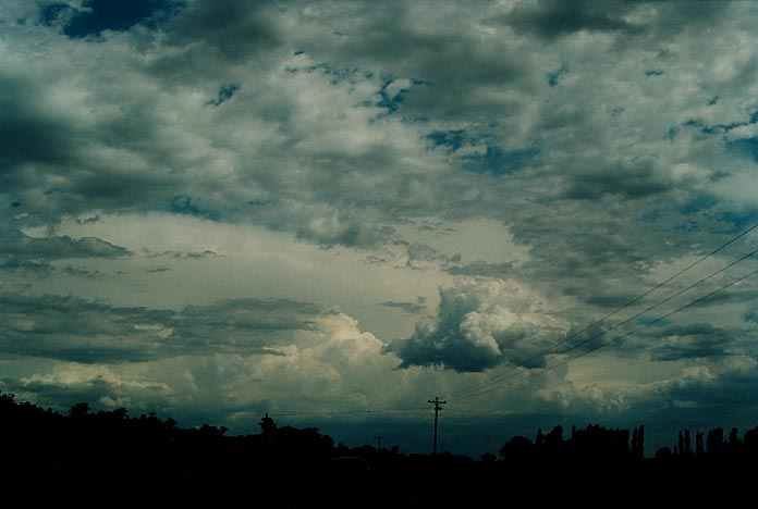
We did observe several microbursts and then later noticed an impressive small anvil to the south. It was situated around Merriwa. Andrew Macdonald and his group had again separated in hoping to go down south and located this cell. Certainly the footage and photographs of this cell were impressive. I do believe that if there was rotation and it seems that the flanking line seems to indicate this, it was an LP (Low Preciptation) supercell.
Click here for Matt Smith's report.
This was going to be a spectacular day on the chase and one of lost opportunities. We had stayed the night at Gunnedah and it seemed the ideal location as the target area for me was the Hunter and parts of the ranges near Murrurundi. Wind shear was ideal and the air was unstable in this region. It was the backing of the winds provided by the northeast winds closer to the coast that would aid development of possible supercells. The moisture profile was also ideal with drier air in the middle layers and ample moisture below.
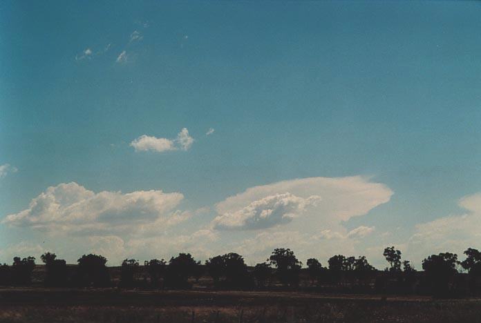
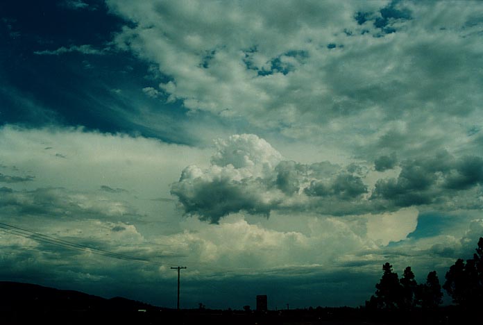
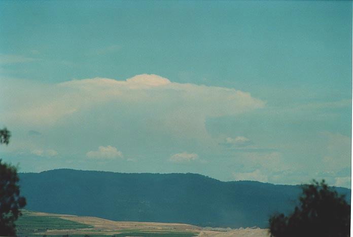
We made our way to Quirindi as this would make a good vantage point for observations. On the way, large cumulus was already firing on the Warrumbungle Range. However, it was the storm structure over Barrington Tops that took my fancy. It was continually backbuilding even though the storm cells were moving over the Barrington Tops. I wanted to go there but waited to see what happened to the storms around the Warrumbungle Range.
 These
did fire and it looked great so we decided to chase these. But the more we chased
these, the more I realised that the lower level wind shear was only going to produce
outflow domination. So suddenly, when we going to embark on a chase on this storm,
I changed my mind and Geoff and I headed for the Hunter. I just knew that the
storm in the Hunter had better structure even though now it was hidden behind
the anvils of the storms near Quirindi.
These
did fire and it looked great so we decided to chase these. But the more we chased
these, the more I realised that the lower level wind shear was only going to produce
outflow domination. So suddenly, when we going to embark on a chase on this storm,
I changed my mind and Geoff and I headed for the Hunter. I just knew that the
storm in the Hunter had better structure even though now it was hidden behind
the anvils of the storms near Quirindi.
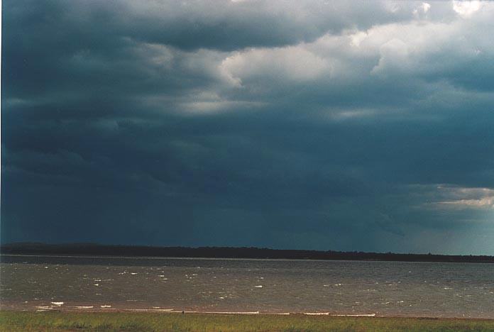
It was a "drum roll" suspense filling ride into the Hunter. Was this the correct decision. Well we were not disappointed. First, we received reports from Daniel Weatherhead's mother via Michael Bath of hail drifts up to 30cm!! Similar hail drifts were reported from near Muswellbrook and also near Singleton. We were not to find either but it usually is a narrow and concentrated path and you have to be there when it occurs.
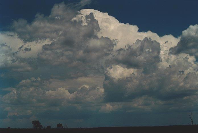
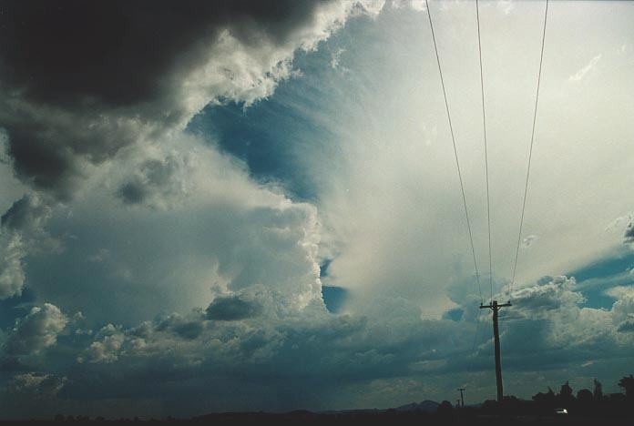
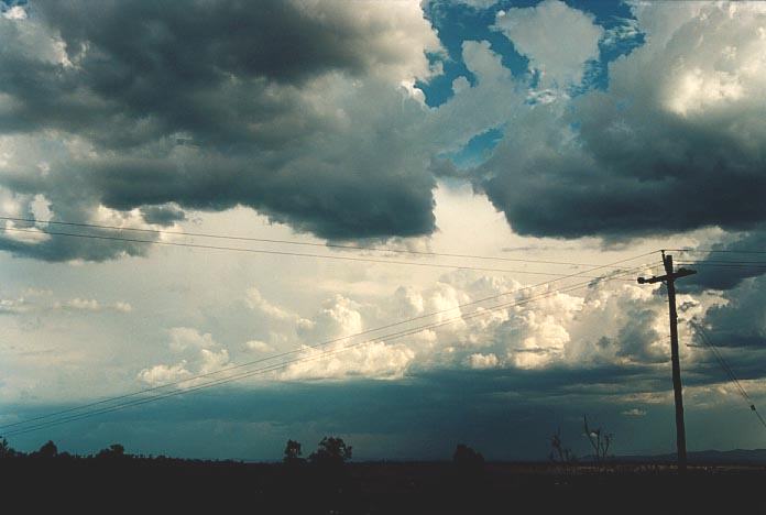
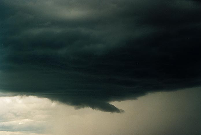
Then, as we were travelling towards Muswellbrook, my eyes almost popped out of my head!! Through all the congestus and chaotic sky came a break and the back-sheared anvil of a massive supercell emerged. Both Geoff and I looked in awe as we watched the anvil spill backwards. You could actually see it spreading backwards relative to the sky. The side shearing indicated a right moving cell. This certainly added to our enthusiasm to give chase. No lunch stops for us. I knew we could at least get close but you wouldn't believe our luck. A traffic jam. The storm had created havoc in Branxton and this traffic jam was barely moving. Michael Bath kept us up to date and alerted us to the development of a severe storm further to the west which we had observed earlier. Then, I saw the opportunity to get out of this traffic. Turn left in a side road and then out to the other side. Geoff had one better - chuck a U-turn. Smart alec!!!
 Nick
and Mark had also decided to come to the Hunter and were also stuck in the traffic
and had turned around ahead of us. To my surprise, out of the blue, Andrew MacDonald
and team had also come from all the way down near Bathurst into the Hunter and
caught onto this cell ahead of us. David Croan who had wanted to meet up in the
Hunter with the teams found himself chasing the main storm from the eastern side.
This goes to show that different forecasting techniques still can yield the same
storms. Jane ONeill and Michael Thompson were enjoying the storms near Gunnedah
with hail reported as well.
Nick
and Mark had also decided to come to the Hunter and were also stuck in the traffic
and had turned around ahead of us. To my surprise, out of the blue, Andrew MacDonald
and team had also come from all the way down near Bathurst into the Hunter and
caught onto this cell ahead of us. David Croan who had wanted to meet up in the
Hunter with the teams found himself chasing the main storm from the eastern side.
This goes to show that different forecasting techniques still can yield the same
storms. Jane ONeill and Michael Thompson were enjoying the storms near Gunnedah
with hail reported as well.
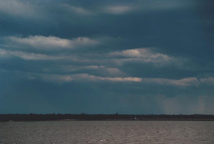
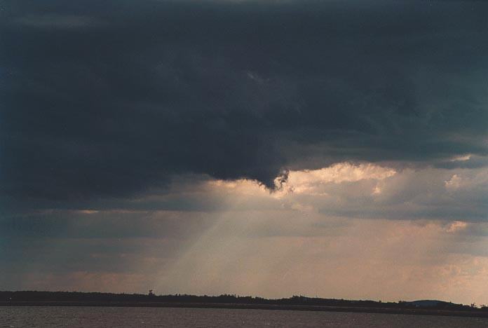
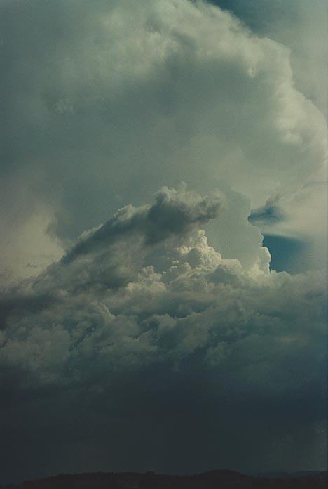
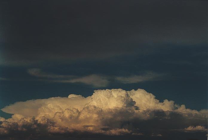
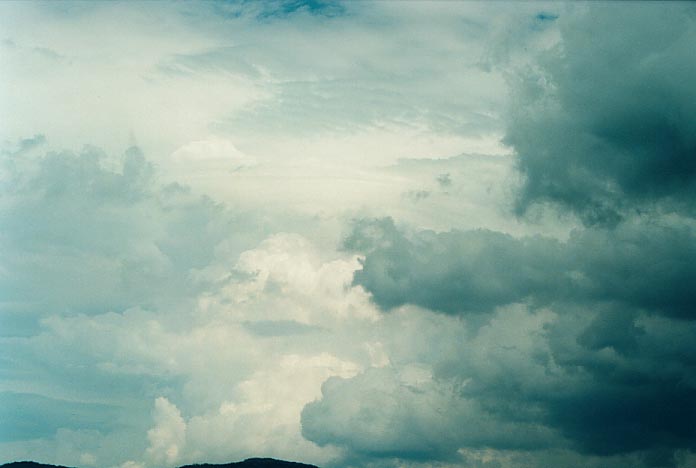
This cell displayed a high contrast system, possibly another supercell (probably HP). It also emphasised why the Hunter is one hell of a place for thunderstorms when it decides to fire. This was certainly impressive. There was a lowering observed which I feel was suspicious and located along the rain free area near the gust front. I took more video than anything as I did not get much of a photographic opportunity (perhaps 5 minutes too late). We chased to the storm and then turned around ahead of it and moved towards Singleton and then on the road to Dungog. We observed the storm but also the damage from the massive right moving cell earlier. Debri consisting of small branches and leaves as well as severe runoff was common. We decided to call it quits and stayed the night at Singleton. The other guys also joined us.
 After
such a successful day on the 29th, we fealt that the conditions would again be
ideal for activity in the Hunter once the cap broke. IF the cap broke. Sydney
had a weaker cap and this would yield some phenomenal falls of rain and some hail
from mainly pulse activity. Well the Hunter can be your best friend or worst enemy.
This day only yielded sunburn. It was hot. Certainly a reminder of what can happen
on chases. It was one day I wanted to forget on the chase. The only consolation
was some reasonably impressive cells going up on the Barrington Tops (that was
reported to have produced 3cm hail by Greg Browning) and some microburst and funnel
from some activity late in the day. The storms were very shallow in the Hunter.
After
such a successful day on the 29th, we fealt that the conditions would again be
ideal for activity in the Hunter once the cap broke. IF the cap broke. Sydney
had a weaker cap and this would yield some phenomenal falls of rain and some hail
from mainly pulse activity. Well the Hunter can be your best friend or worst enemy.
This day only yielded sunburn. It was hot. Certainly a reminder of what can happen
on chases. It was one day I wanted to forget on the chase. The only consolation
was some reasonably impressive cells going up on the Barrington Tops (that was
reported to have produced 3cm hail by Greg Browning) and some microburst and funnel
from some activity late in the day. The storms were very shallow in the Hunter.
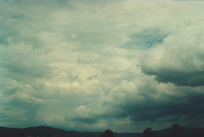
This was again another day that proved frustrating. After a disappointing previous day, I checked the models. There were two target areas. What made it complicated was that a rain band had developed from the activity in Sydney and edged its way north. We had rain and even the odd thunder embedded at Singleton. If it cleared later and there was enough heating, there was a likelihood the Hunter would take off in a big way as the moisture profile and also windshear was most ideal. But according to the models, it was marginal. The other possibility was to go north ahead of the rain band, which is what we did. It was evident that a low was going to develop and these situations change within hours.
After farewelling Nick and Mark, we decided to head north through Dungog and on the road to Nowendoc and up to Glenn Innes. We met some heavy rain in this area with a large cell already in progress. Everything was working according to plan with advices issued by the Bureau for these and surrounding districts. I received a message through Michael Bath about a forecast from Harald Richter. It basically predicted strong thunderstorms if heating occurred north of Sydney with tornadoes possible! (Now comments from ASWA members in Sydney back this. A massive cell was observed in the Hunter particularly eastern Hunter on this day with a possible hook echo!!!! It would have been such an easy chase had we remained).
 Well,
in my years of chasing I don't ever recall advices changed so rapidly from one
region to the next. The newer model runs had changed the centre of activity further
south in the Hunter, Sydney and Illawarra and South Coast region. I simply was
disgusted. I cannot repeat what I said when I could see this emerging and we were
stuck at Tenterfield. We did observe cells that looked promising and I think these
eventually headed into the Northern Rivers region with small hail and very heavy
rain observed from a multicell system.
Well,
in my years of chasing I don't ever recall advices changed so rapidly from one
region to the next. The newer model runs had changed the centre of activity further
south in the Hunter, Sydney and Illawarra and South Coast region. I simply was
disgusted. I cannot repeat what I said when I could see this emerging and we were
stuck at Tenterfield. We did observe cells that looked promising and I think these
eventually headed into the Northern Rivers region with small hail and very heavy
rain observed from a multicell system.
I checked the models again at Tenterfield and could see that later, action was supposed to make its way north during the night. We eventually made it to Grafton. The locals at the hotel discussed the severe rainfall and also some microburst damage at about 10km from Grafton at Ulmarra. It seemed there was the possibility that action could develop during the night.
But we were tired and unmotivated. Even the lightning in the distance didn't really attract enthusiasm. We found that storms did develop closer to Graton in the early hours of the morning.
It was Monday when
a trough spread its influence north allowing development of activity mainly in
the northwest slopes area. Conditions were not ideal based on lower to mid-level
windshear. The wind up to 700hPa were from the east to southeast and not from
the west. This meant activity would not move much and perhaps move west in some
cases. However, severe storms were possible. There was a stronger upper level
jet situated in northen New South Wales. 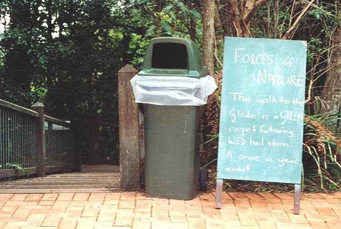
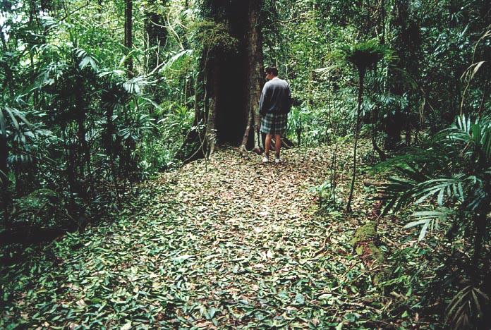 Storm damage along the bushwalk probably from the storms Wednesday 29th November
2000
Storm damage along the bushwalk probably from the storms Wednesday 29th November
2000
After a bushwalk, a morning breakfast overlooking the Dorrigo Skywalk, more sight-seeing at Mount Point Lookout, we made our way to Armidale and then watched the development from there. Although Michael supplied model data through SMS messages, this was something that needed closer analysis. We looked at the models thanks to the kindness of the computing staff at the University of New England who allowed us to use their computers (we were not students and had no access). The target area was from Glen Innes to Inverell where wind shear and instability was slightly more ideal, as mentioned above.
A nice storm had
developed to the west but we made our way to Guyra and then northwest to Tingha.
We had two choices: the storm to the south or the one to the north. I decided
on the one to the north. 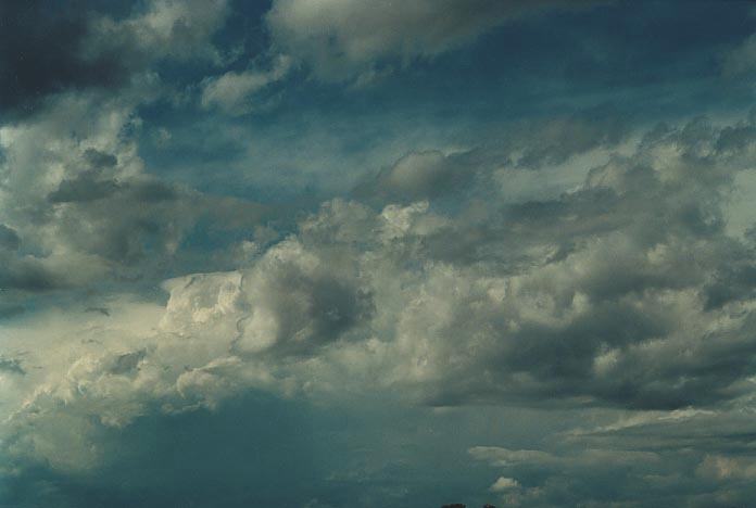
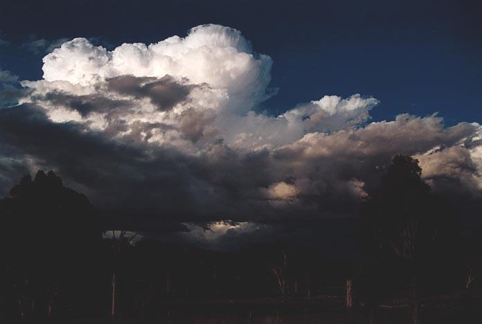
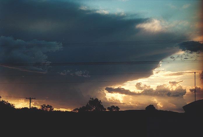
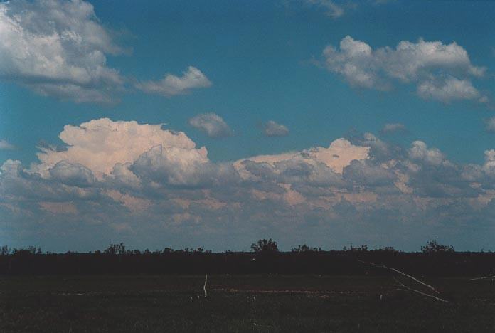
It displayed some impressive features including slight rotation and possible wall cloud on the right flank. It was a right moving system. To cut a long story short, we ended up at Bundarra - population 400. Some nice sunset picture opportunities due to the weakening storms to the south moving north and storms to the north following us south. We hoped for a lightning display but the storms dissipated.
We were treated to a good breakfast that included cereal, a cup of tea, and fried eggs and sausages. All this including accommodation for $15. After making our way to Uralla, Geoff decided this was his chance to have a well earned rest. We headed for Sydney and I stayed the night, using the opportunity to catch up on unanswered e-mails and also check the models for the next day. Mario took the opportunity to join in the chase and was to meet me in the morning.
The Thunder Down Under Chase 2000 - Special Report: Episode 1
The Thunder Down Under Chase 2000 - Special Report: Episode 3
|
Document: 0011-09.html
Updated: 3rd November, 2001 |
[Australian Severe Weather index] [Copyright Notice] [Email Contacts] [Search This Site] |