and Chasing
[Index][Archives]
Severe storms Armidale to Nowendoc - Northern Tablelands: Thursday 27th October 2005
Report compiled by Jimmy Deguara and Michael Bath
| Storm News and Chasing [Index][Archives] |
Severe storms Armidale to Nowendoc - Northern Tablelands: Thursday 27th October 2005 Report compiled by Jimmy Deguara and Michael Bath |
 Conditions according to models on this day were favourable for severe storms
including supercells - mainly HP supercells. Air was already unstable in the
region with rich dew points invading the area and considerable heating. The only
concern were the westerlies! Concern - it was to deplete any chance of any
storms let alone severe weather in region west of Tamworth.
Conditions according to models on this day were favourable for severe storms
including supercells - mainly HP supercells. Air was already unstable in the
region with rich dew points invading the area and considerable heating. The only
concern were the westerlies! Concern - it was to deplete any chance of any
storms let alone severe weather in region west of Tamworth.
 In Tamworth, and a strong very crisp updraft exploded to the north - the
northwest end of a set of rain free based towers. The storms were beginning to
tap the moisture - so we thought! After a long meander, the storm never seemed
to attain very severe characteristics despite showing some signs of strength.
In Tamworth, and a strong very crisp updraft exploded to the north - the
northwest end of a set of rain free based towers. The storms were beginning to
tap the moisture - so we thought! After a long meander, the storm never seemed
to attain very severe characteristics despite showing some signs of strength.
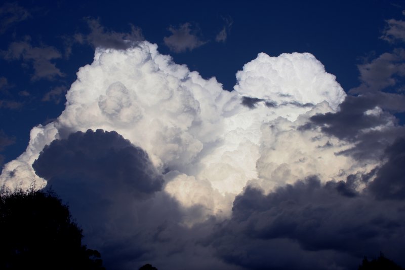
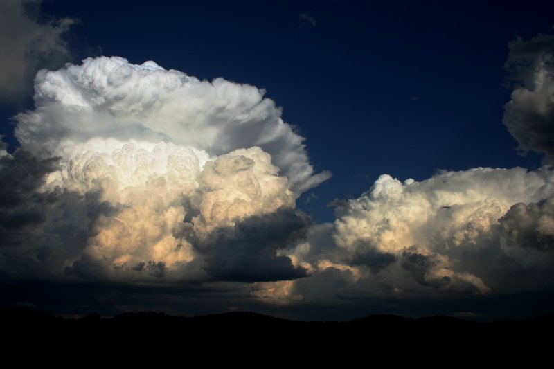
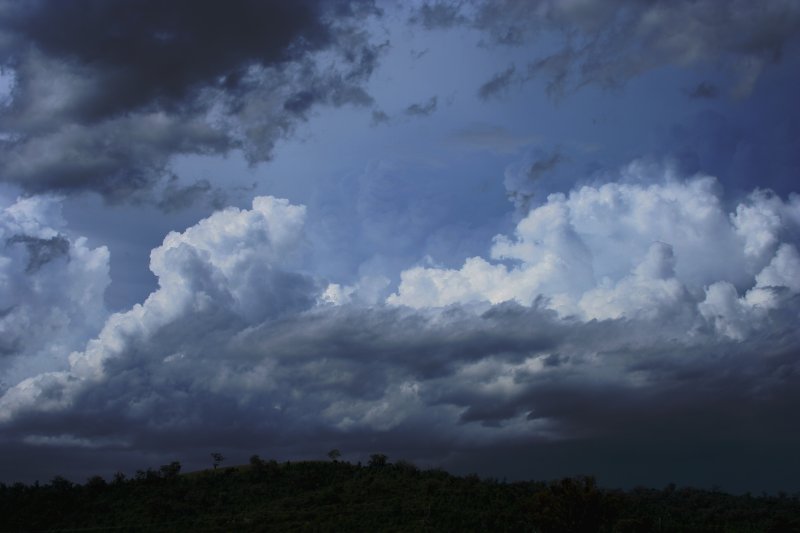
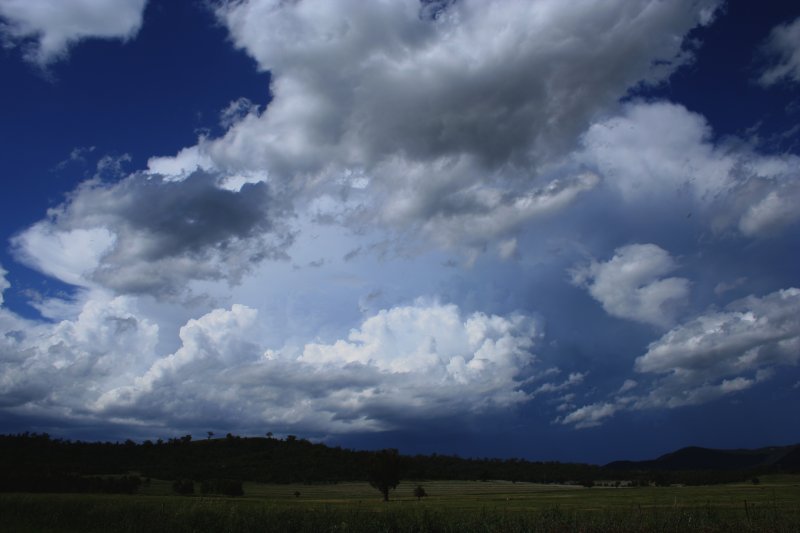
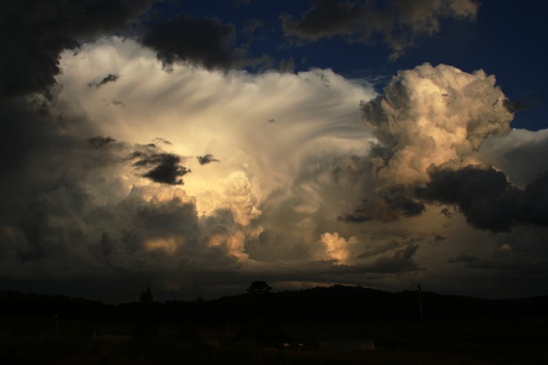
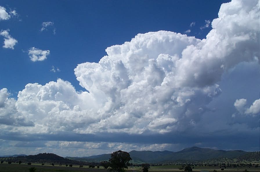
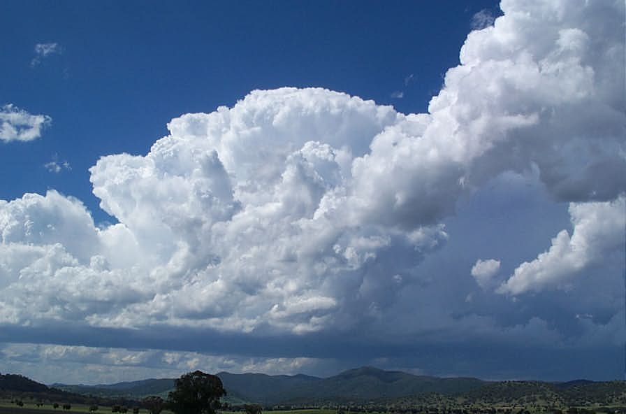
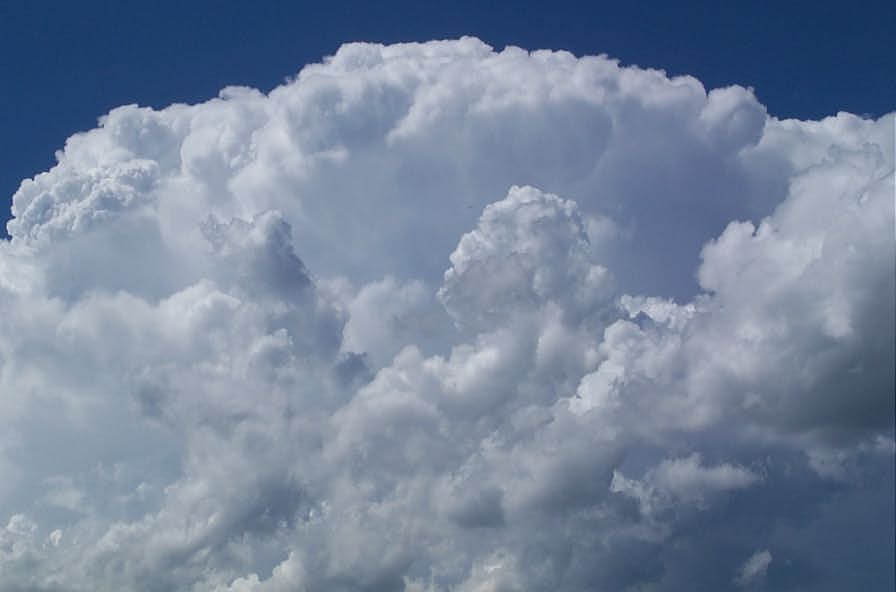
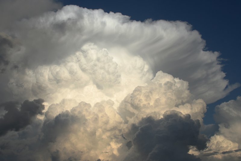 It seemed better storms were in the region to the south of Walcha - the
overshoot indicative of the powerful updrafts. But nothing was to prepare us for
we were to experience. As we neared Top Dale, moisture was clearly invading the
area in a line of convergence. One particular cluster of cumulus began to
accelerate upwards - good pose for a few photographs. But as we travelled
further southeast, David pointed out in excitement a powerful bulge of an
updraft. We pulled over immediately and watched almost in disbelief that the
storm had developed such a structure in such a short time span! The camera
worked overtime as new features and detail evolved - the video camera quietly
capturing timelapse.
It seemed better storms were in the region to the south of Walcha - the
overshoot indicative of the powerful updrafts. But nothing was to prepare us for
we were to experience. As we neared Top Dale, moisture was clearly invading the
area in a line of convergence. One particular cluster of cumulus began to
accelerate upwards - good pose for a few photographs. But as we travelled
further southeast, David pointed out in excitement a powerful bulge of an
updraft. We pulled over immediately and watched almost in disbelief that the
storm had developed such a structure in such a short time span! The camera
worked overtime as new features and detail evolved - the video camera quietly
capturing timelapse.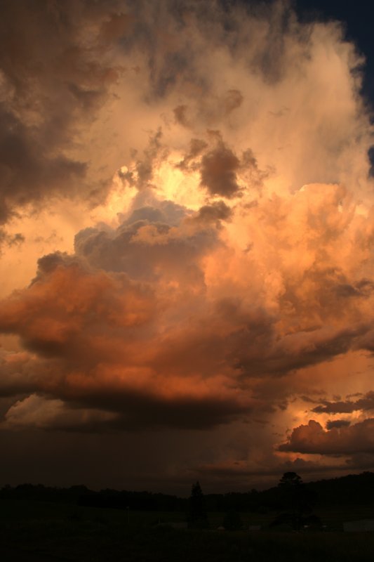
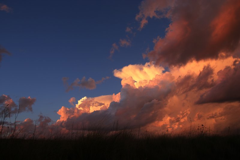
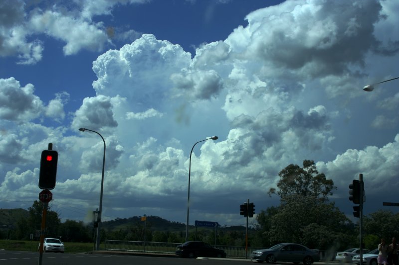
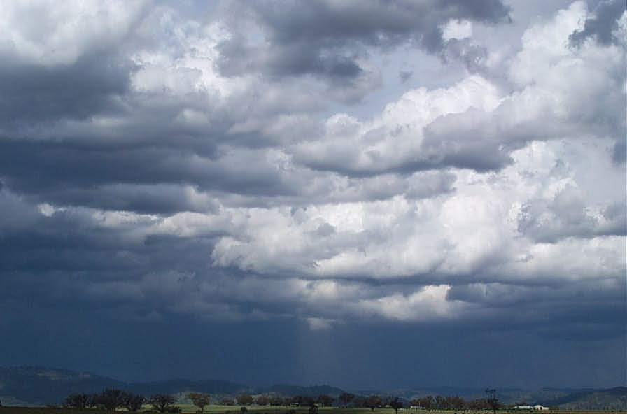
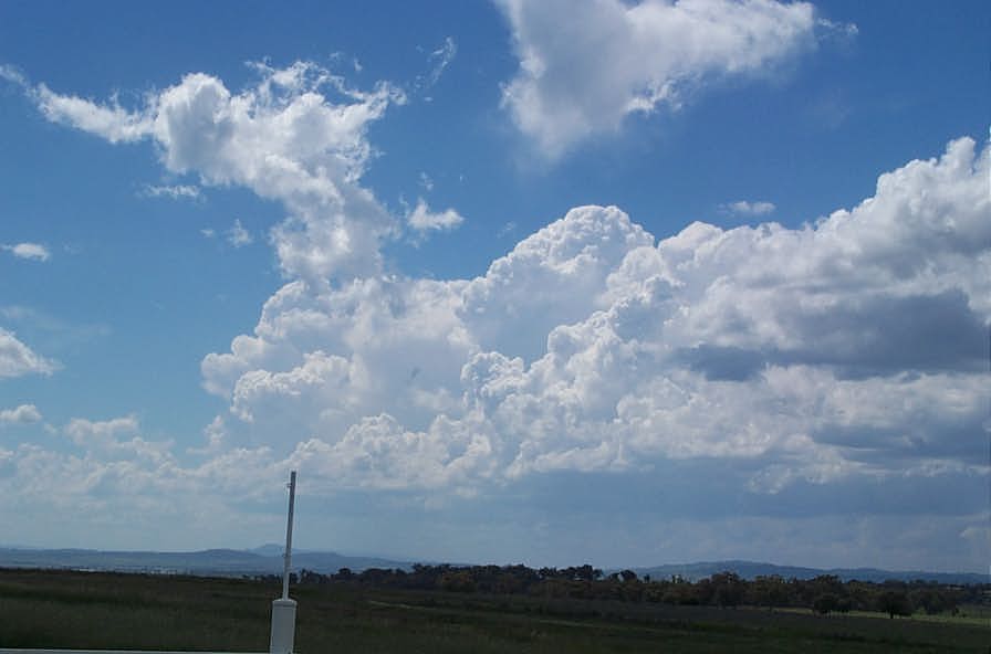
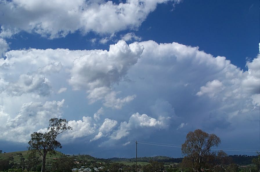
These photos were taken by Stephen Williams at Tamworth
 15km east of Tamworth looking east at 1.30pm
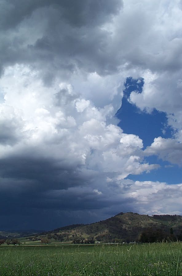
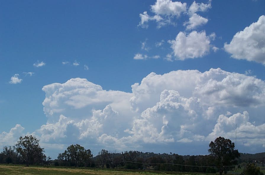
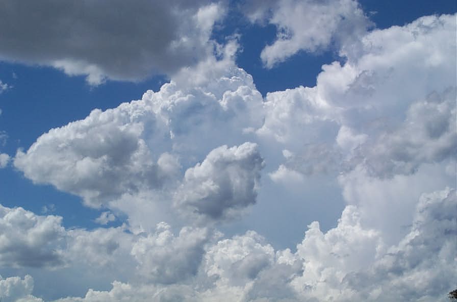
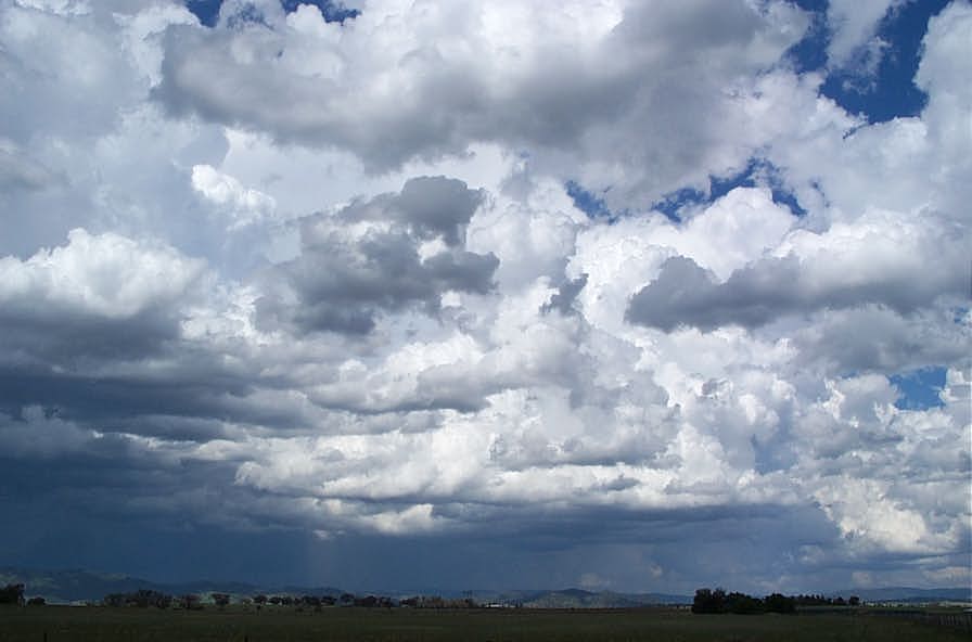 5km east of Tamworth looking east at 1.40pm
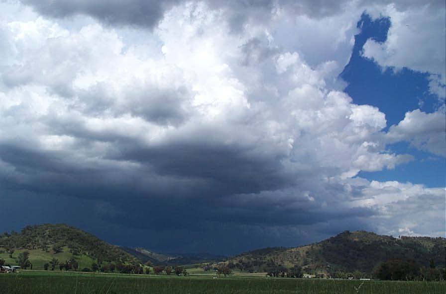
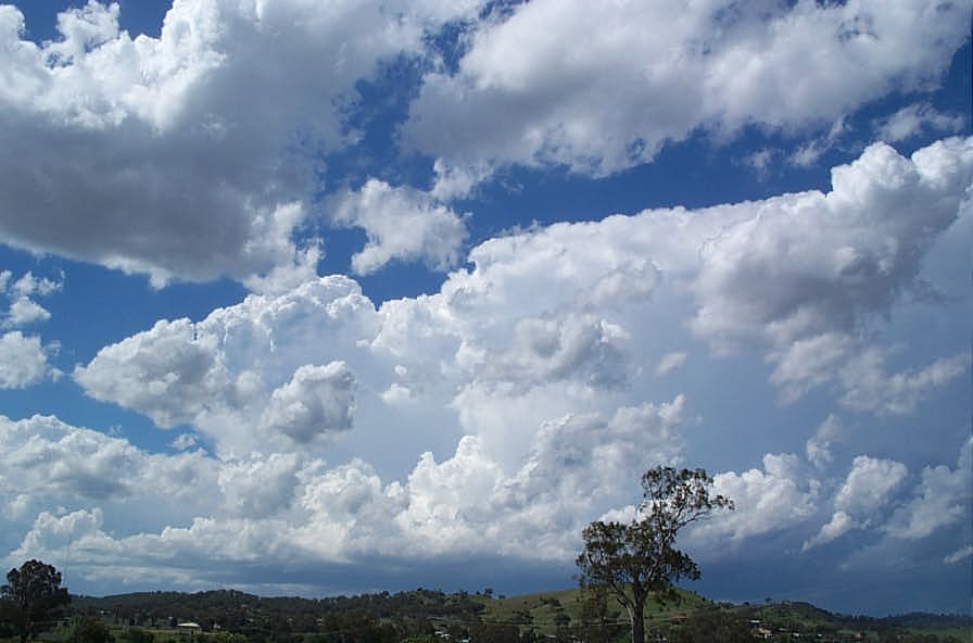
 5km N of Tamworth looking N and NW at 2pm
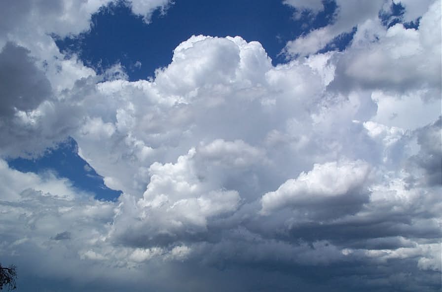
 Tamworth at 2.10pm
If you have any reports or photos you would like to provide about this storm, please send an email to Jimmy Deguara
Check out Dave Sercombe's chase report for this date.
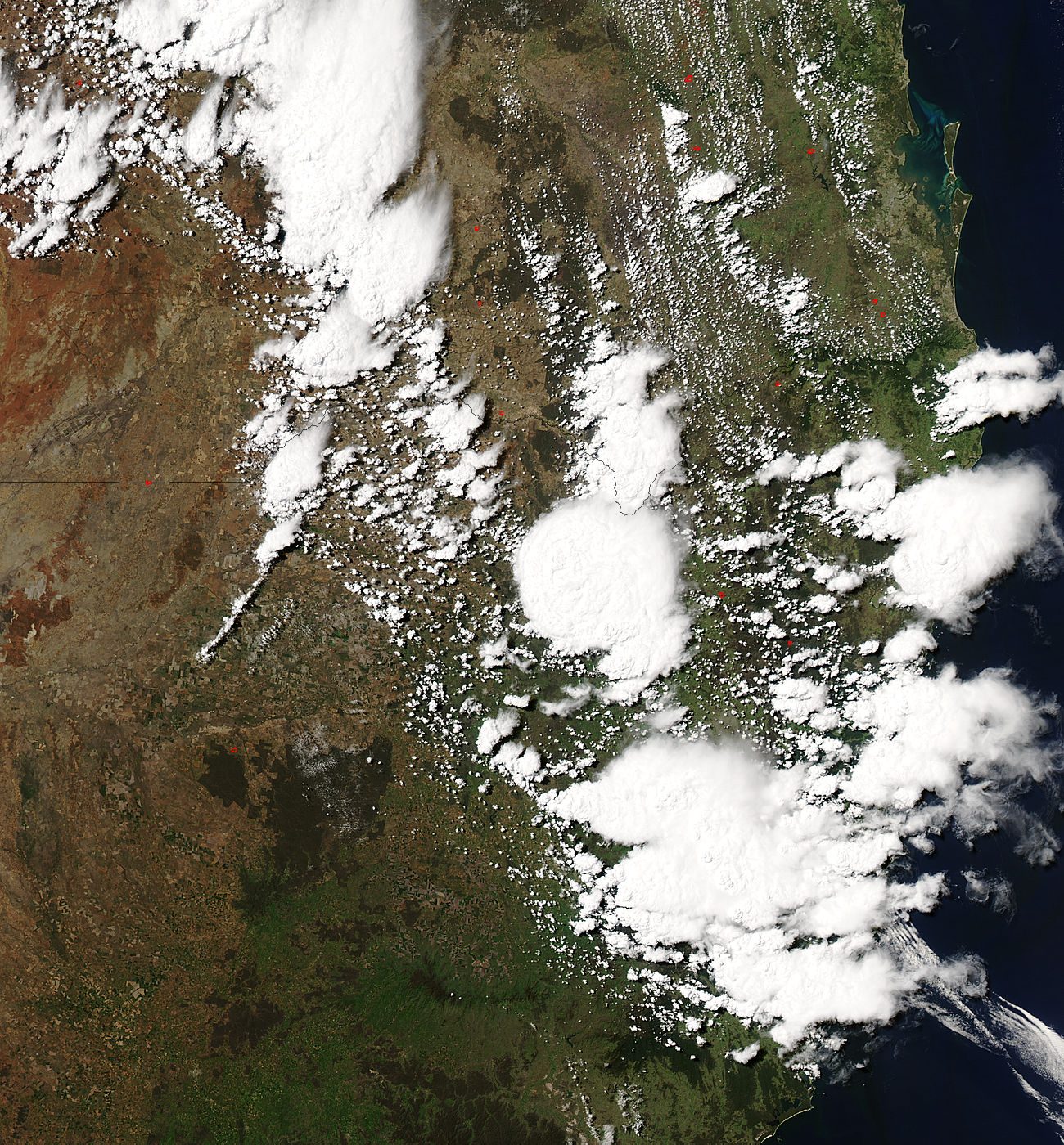
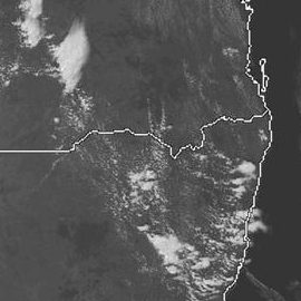
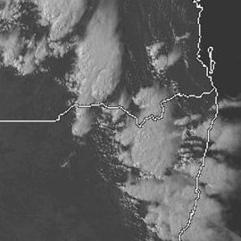
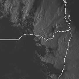
From Weatherzone and MODIS: Land Rapid Response System
From NOAA
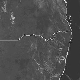
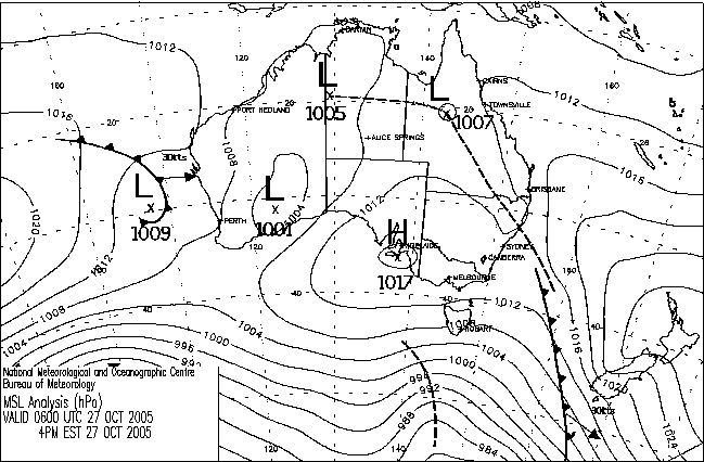
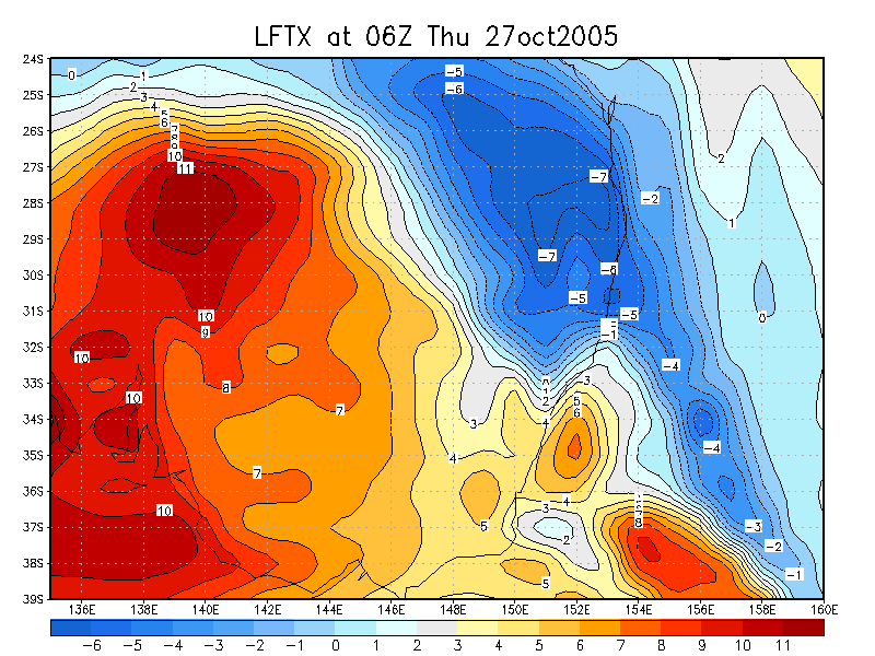
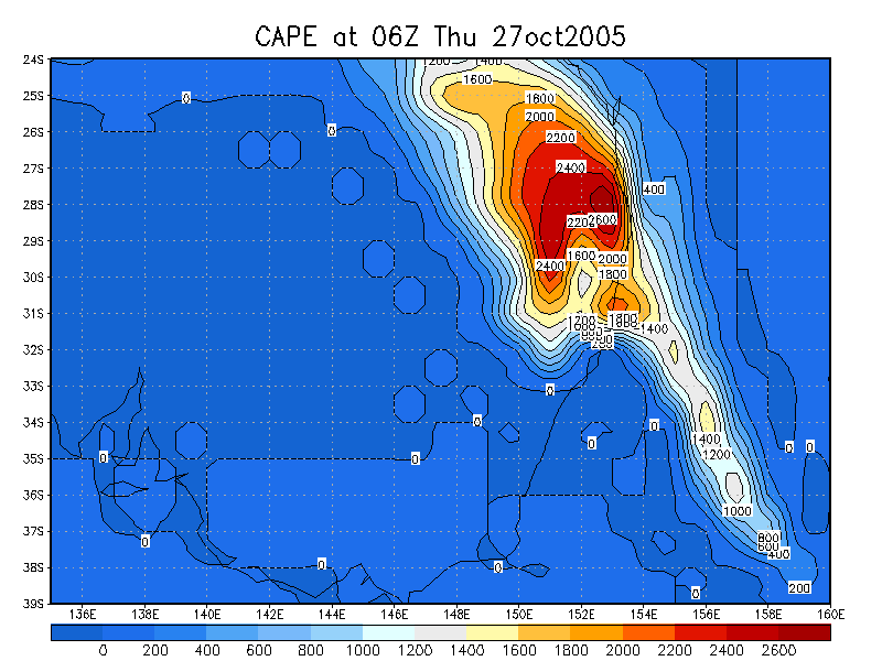
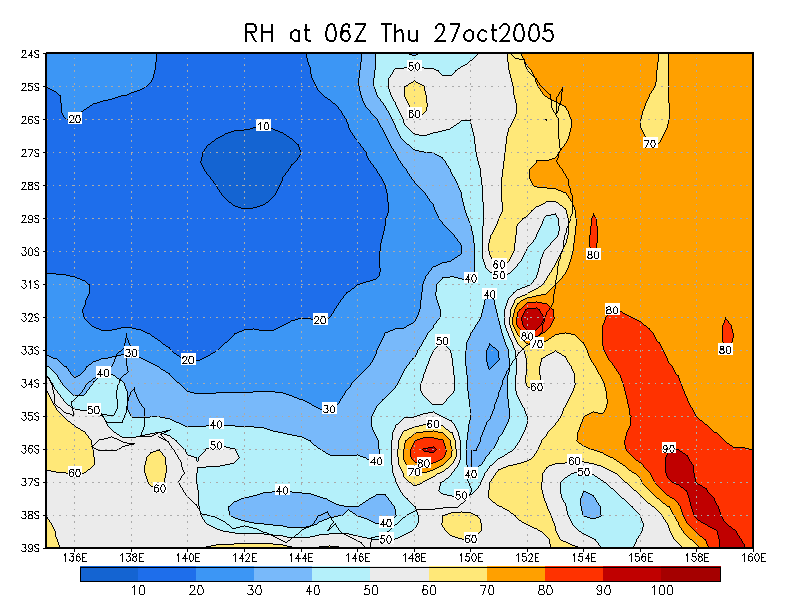
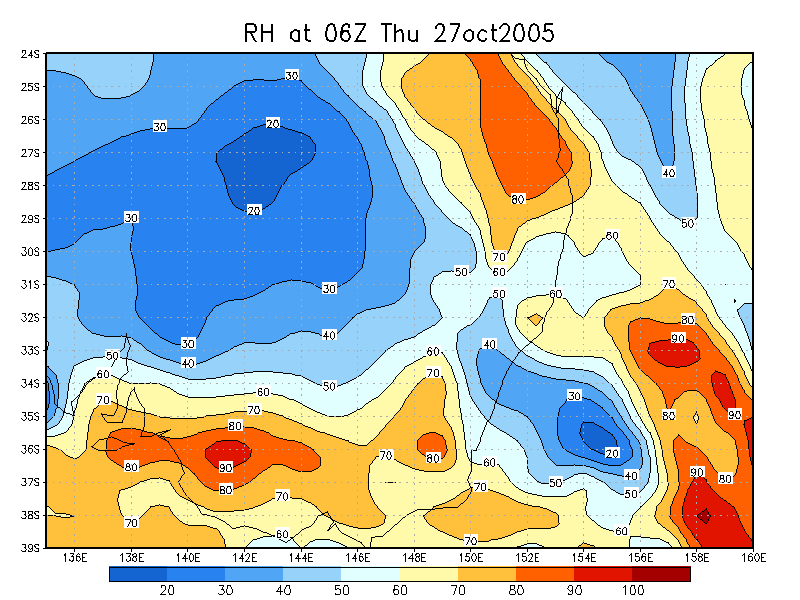
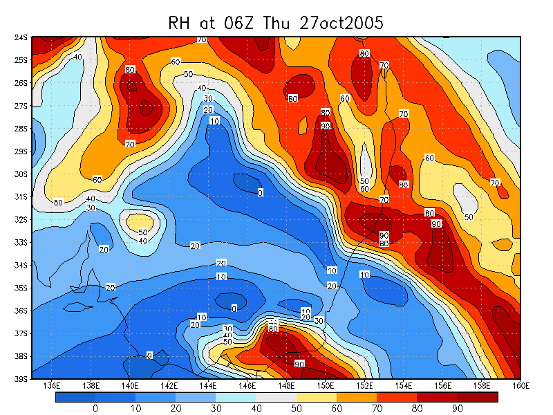
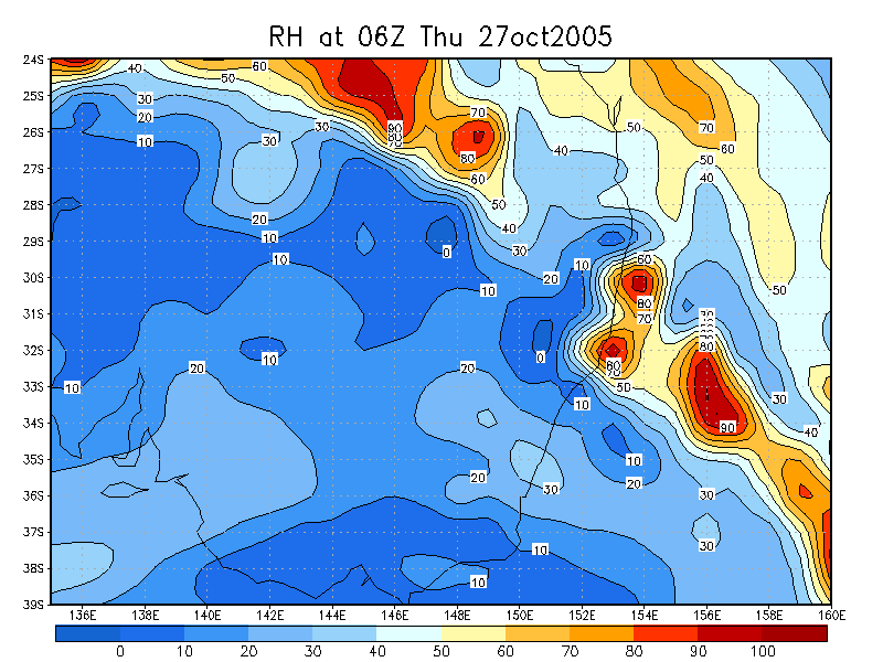
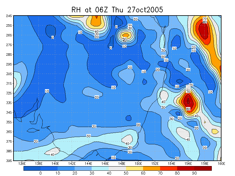
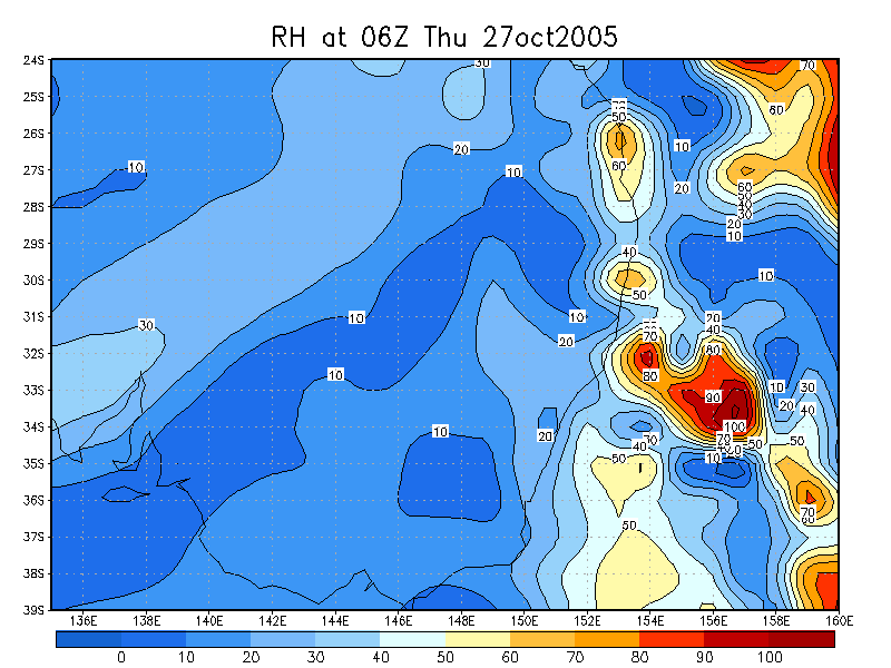
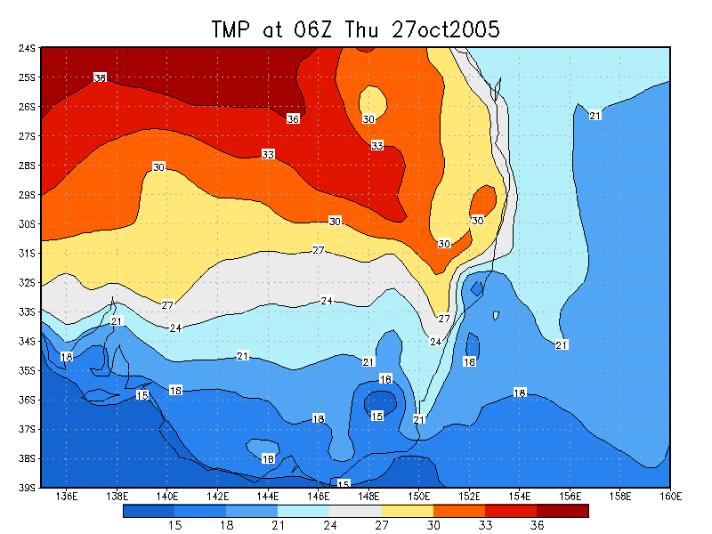
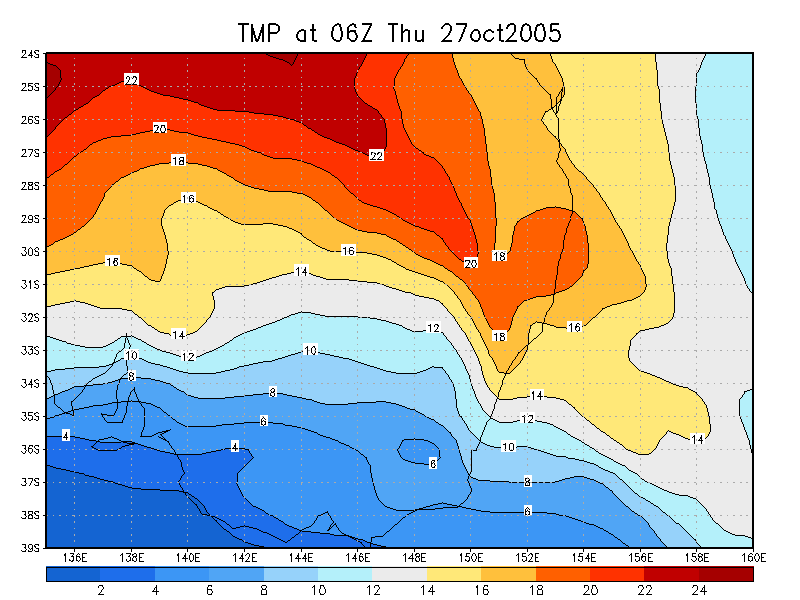
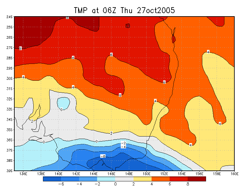
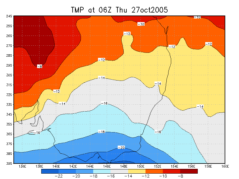
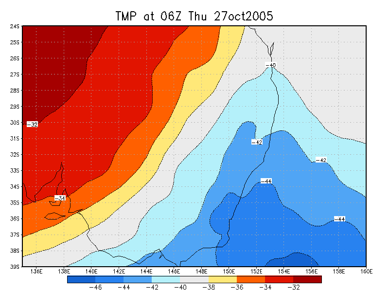
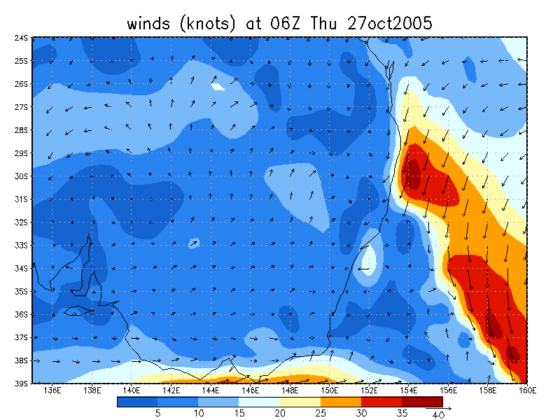
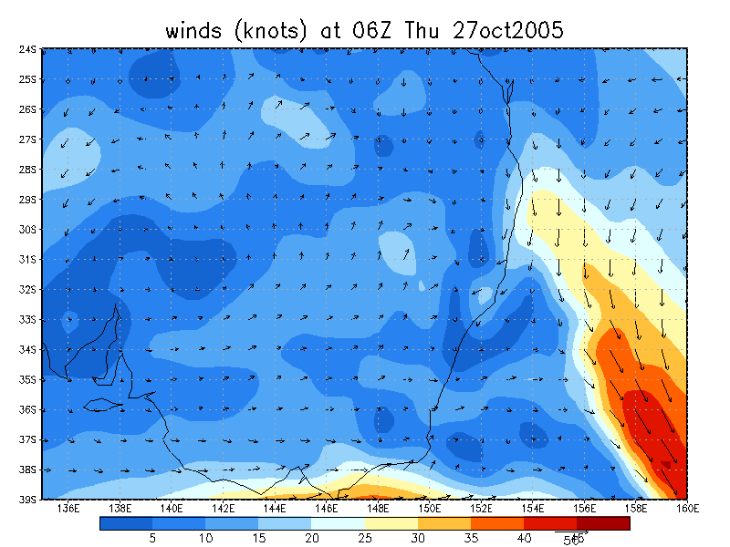
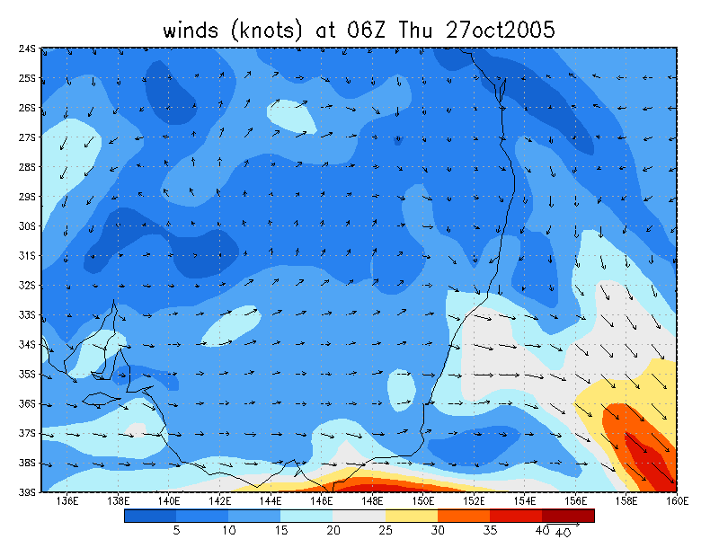
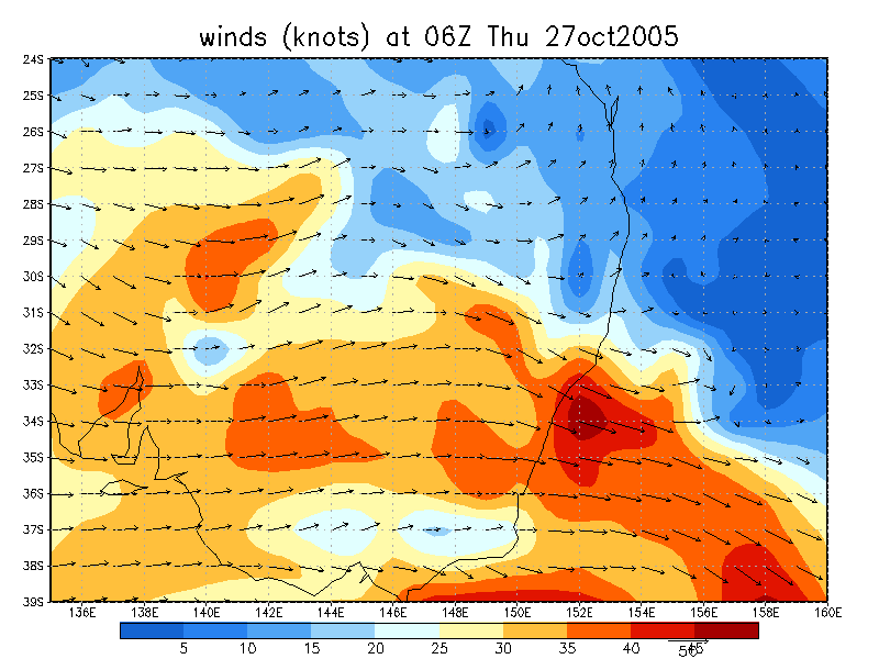
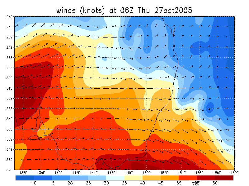
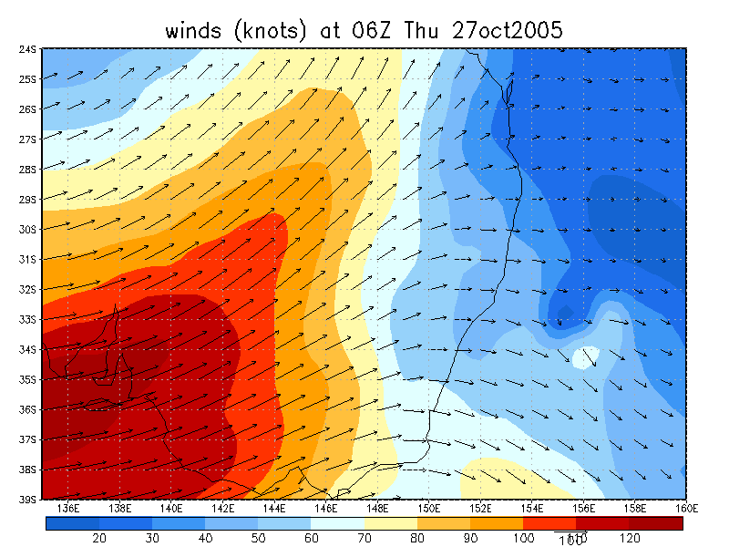
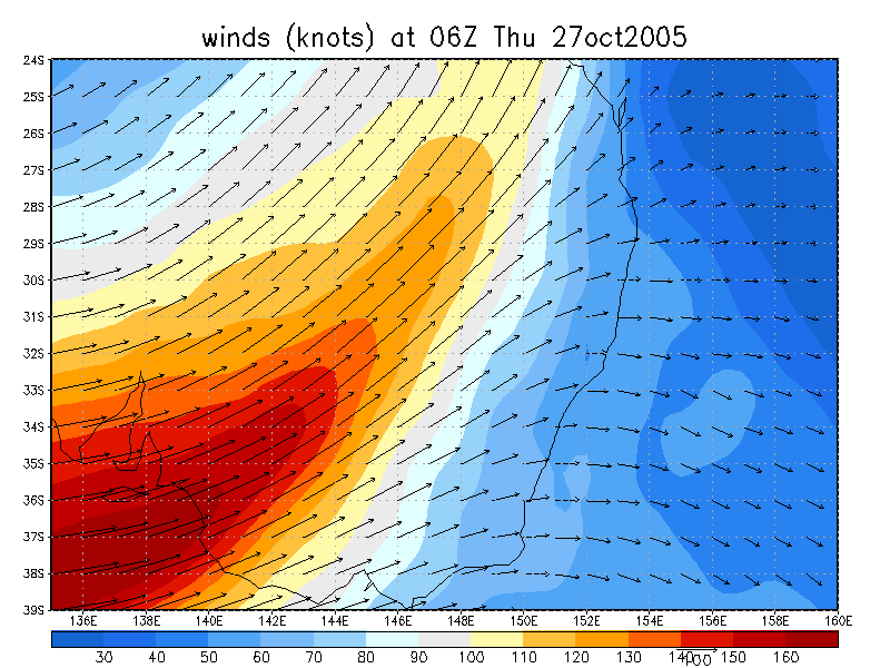
27/10/2005 06z analysis
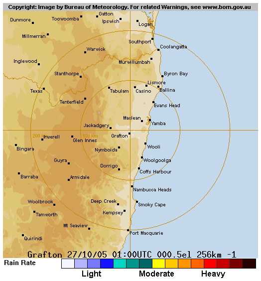
 (click for larger view) 1.45pm 27/10 local
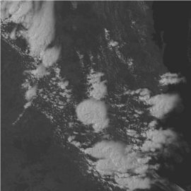
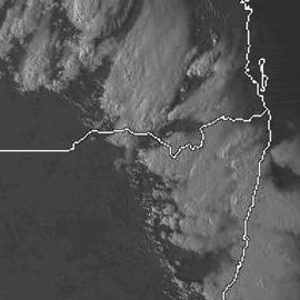
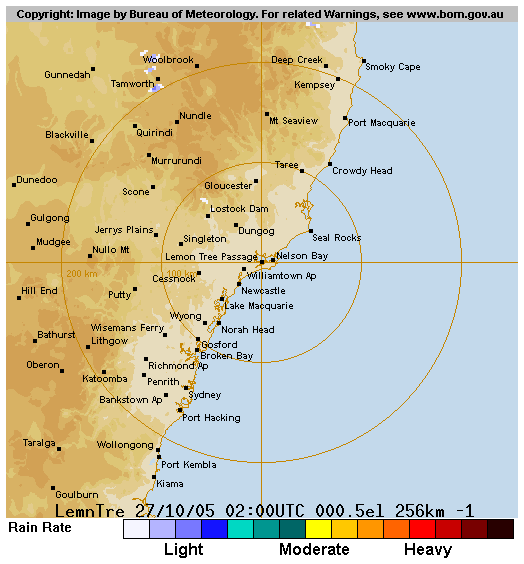
 noon to 5pm 27/10 local
Analysis Charts
GFS Model Analysis
Document: 200510-04.htm
Updated: 18th December, 2005
[Australian Severe Weather index]
[Copyright Notice]
[Email Contacts]
[Search This Site]