and Chasing
[Index][Archives]
Severe Thunderstorm Images of the Month Archives - 2010
Other years: [1997][1998][1999][2000][2001][2002][2003][2004][2005][2006][2007][2008][2009][2010]
| Storm News and Chasing [Index][Archives] |
Severe Thunderstorm Images of the Month Archives - 2010 Other years: [1997][1998][1999][2000][2001][2002][2003][2004][2005][2006][2007][2008][2009][2010] |
|
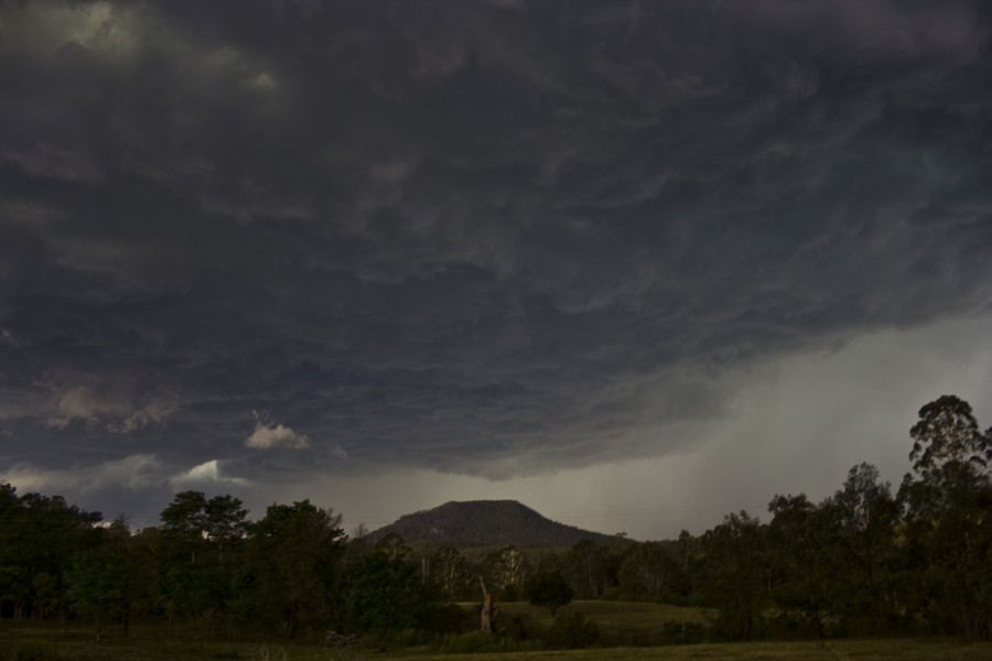
Severe Thunder- storm images of the month: April 2010 Photographs by Jimmy Deguara |
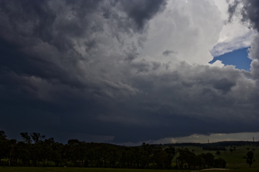
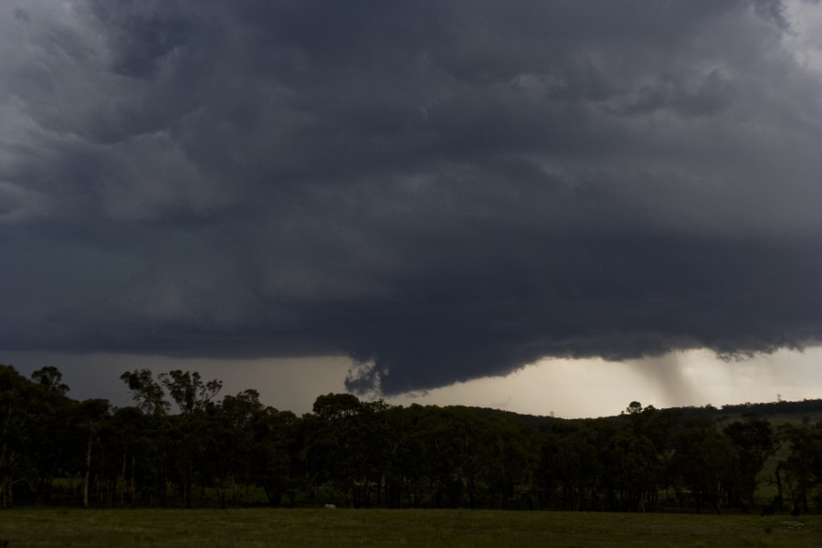
Full sequence of photos: [Explosive severe storms near Putty and Jerrys Plains 10th January 2010]
|
|
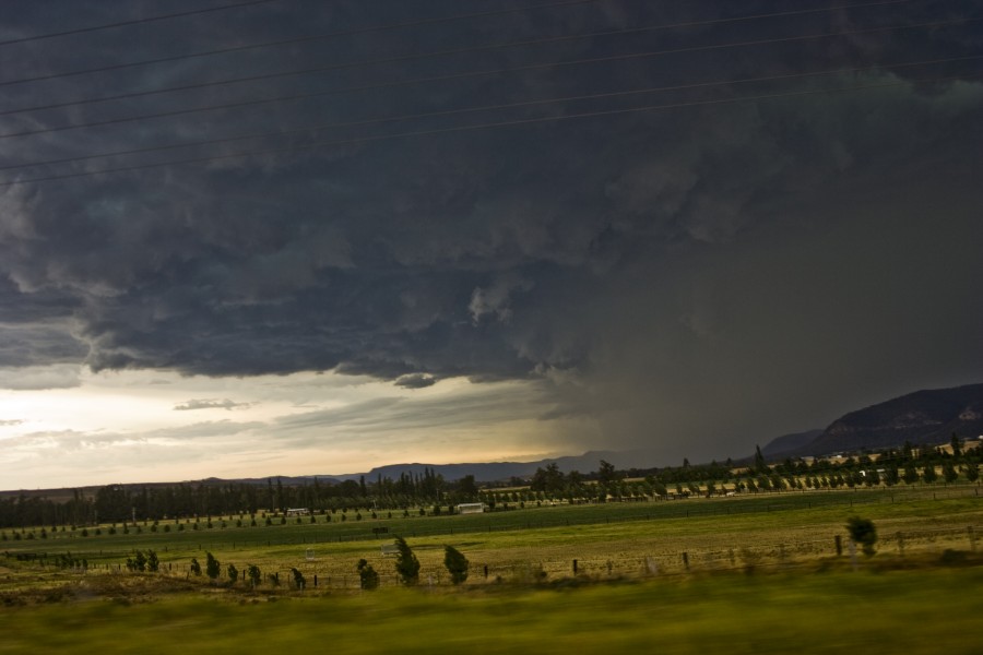
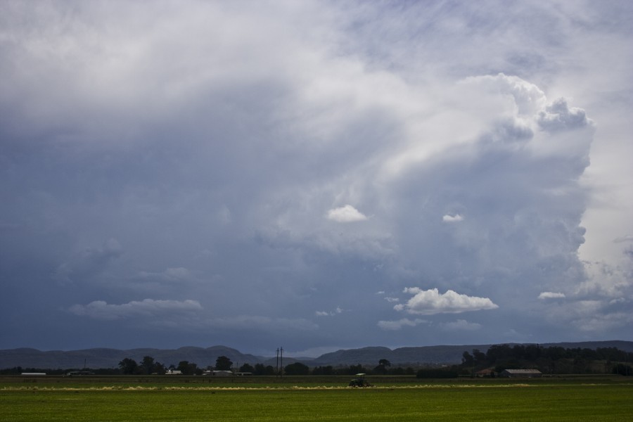
Severe Thunder- storm images of the month: March 2010 Photographs by Jimmy Deguara |
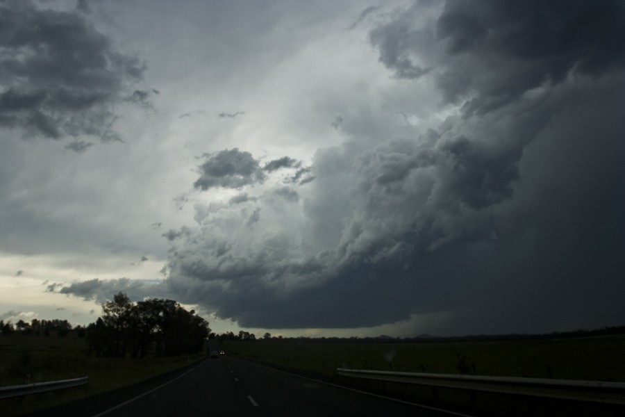
Full sequence of photos: [27th January Supercell Outbreak with hook echos 2010]
|
|
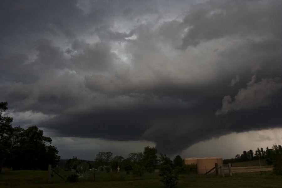
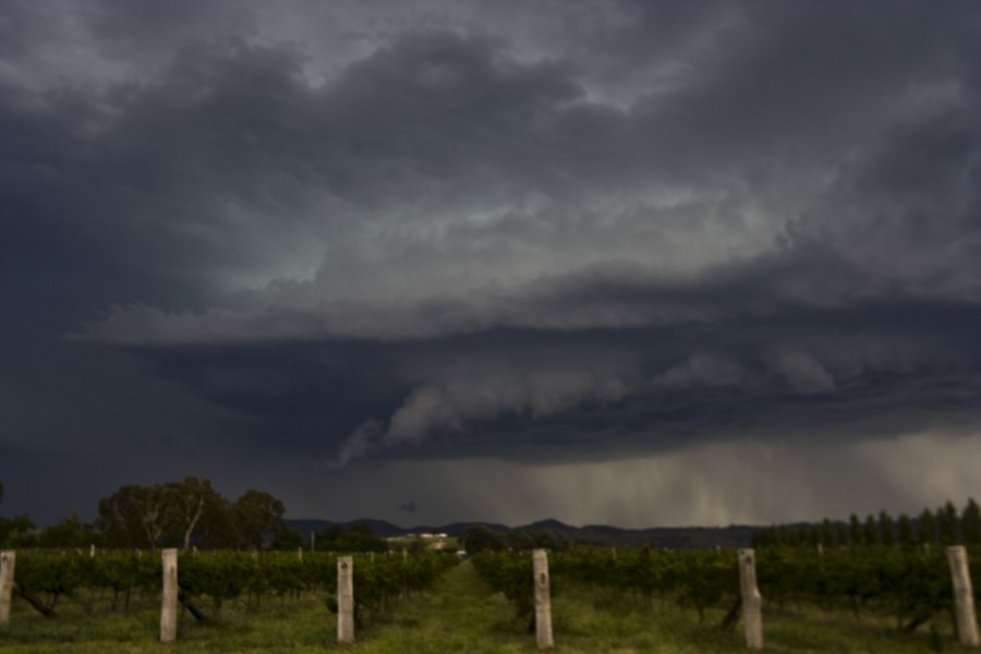
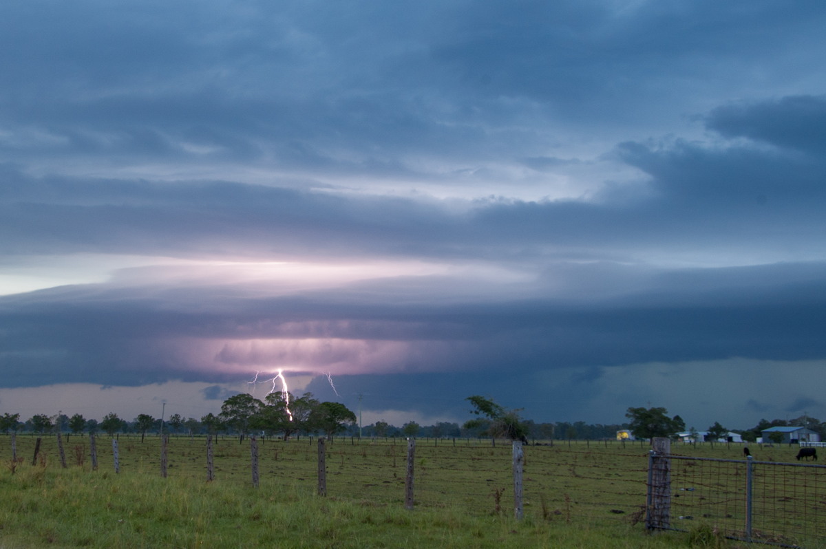
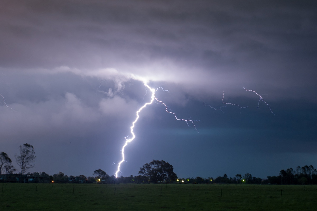
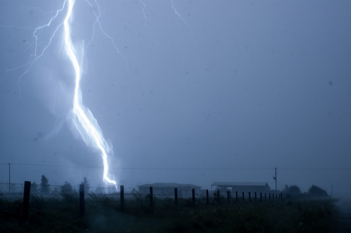
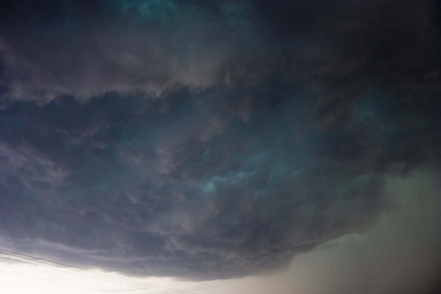
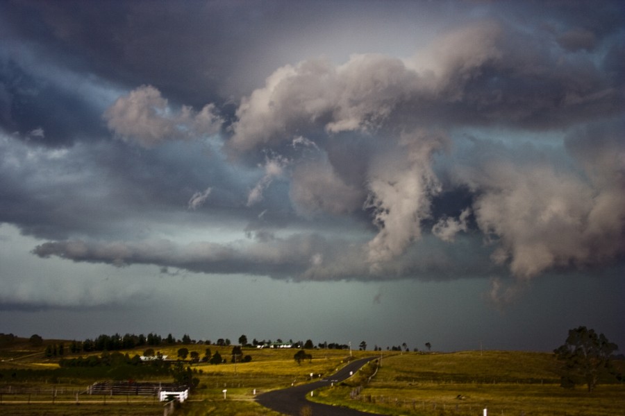
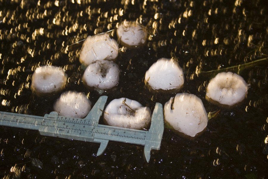
Severe Thunder- storm images of the month: February 2010 Photographs by Michael Bath |
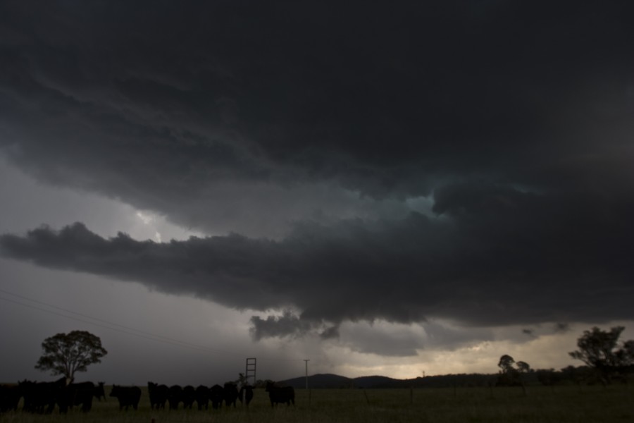
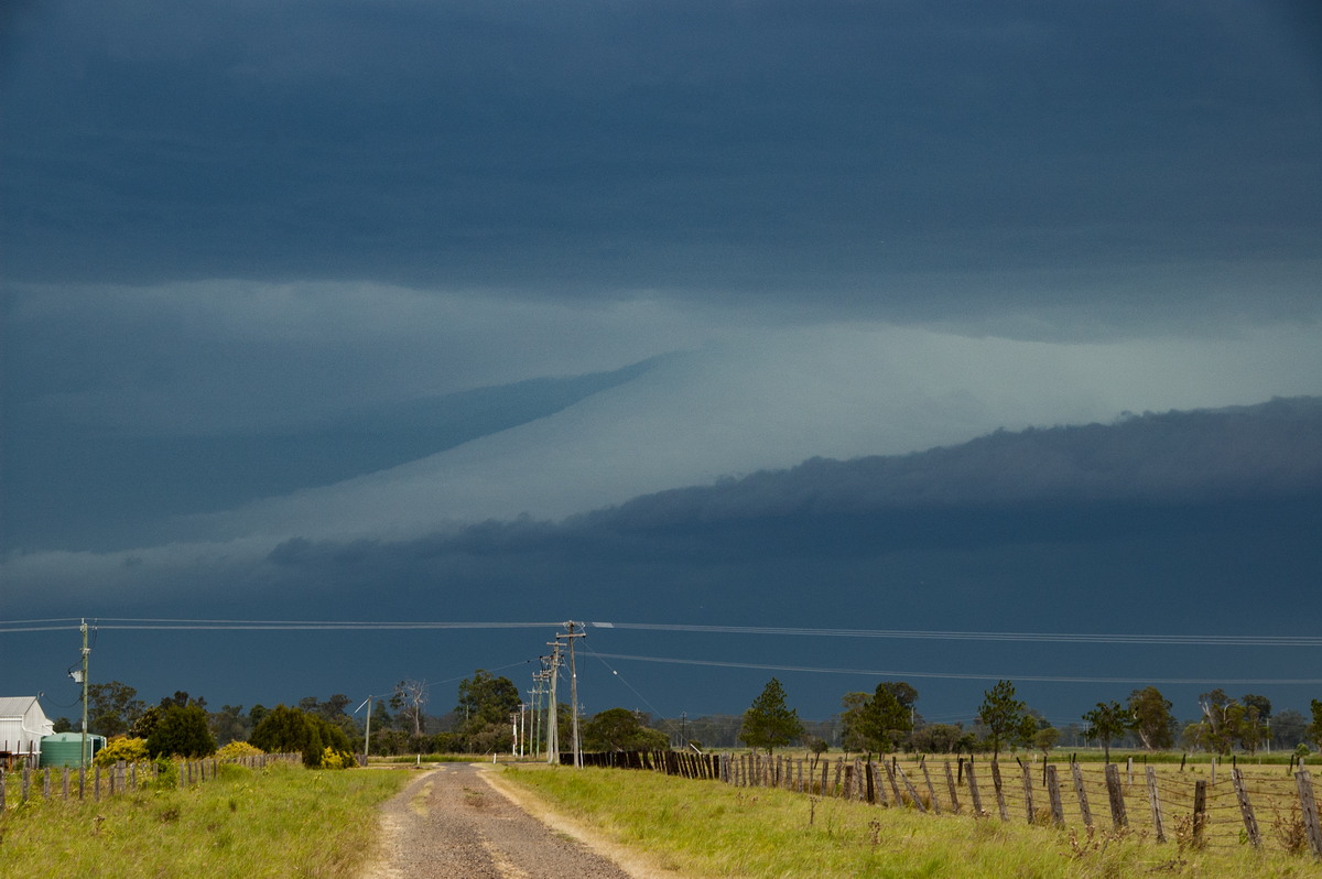 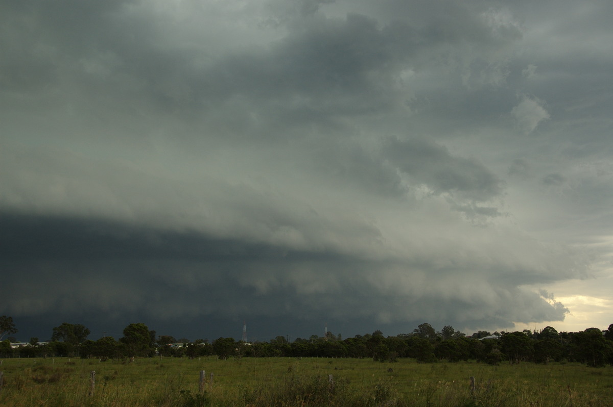 The last week of January 2010 provided two days of storm chasing opportunities in an otherwise poor summer storm season in Northeast NSW. A weak southerly change moving up the Far North Coast on the 27th triggered a number of severe thunderstorms in a highly unstable atmosphere. The main event formed in the usual hotspot between Dorrigo and Glen Innes and tracked generally NNE. The storm evolved into an HP supercell just south of Casino. The timing of its peak was unfortunate for residents in the region with extensive wind related damage reports. The estimated clean-up bill has already topped $5 million. The last week of January 2010 provided two days of storm chasing opportunities in an otherwise poor summer storm season in Northeast NSW. A weak southerly change moving up the Far North Coast on the 27th triggered a number of severe thunderstorms in a highly unstable atmosphere. The main event formed in the usual hotspot between Dorrigo and Glen Innes and tracked generally NNE. The storm evolved into an HP supercell just south of Casino. The timing of its peak was unfortunate for residents in the region with extensive wind related damage reports. The estimated clean-up bill has already topped $5 million.
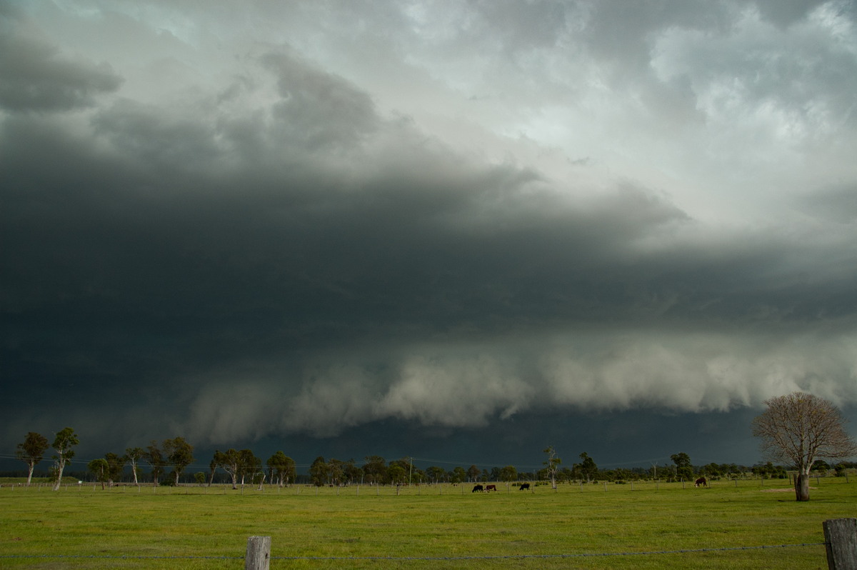
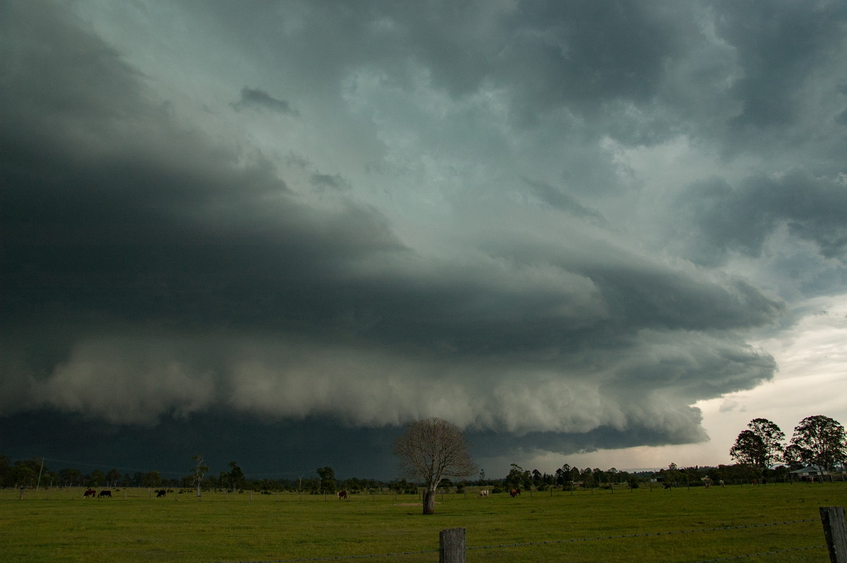 Visually the storm was spectacular with a powerful leading structure. CG lightning was very frequent. The storm produced copious amounts of rain - over 60mm in 30 minutes, winds in the 120-130km/h range and hailstones up to 4cm diameter.
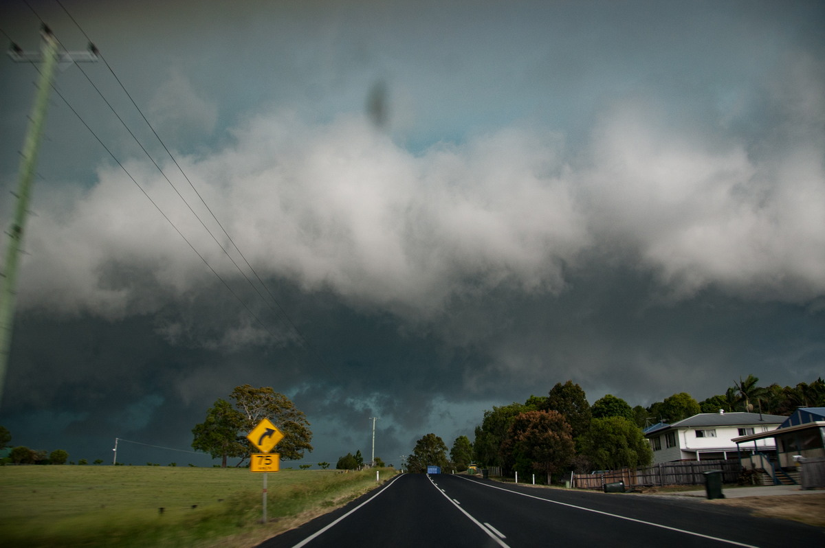
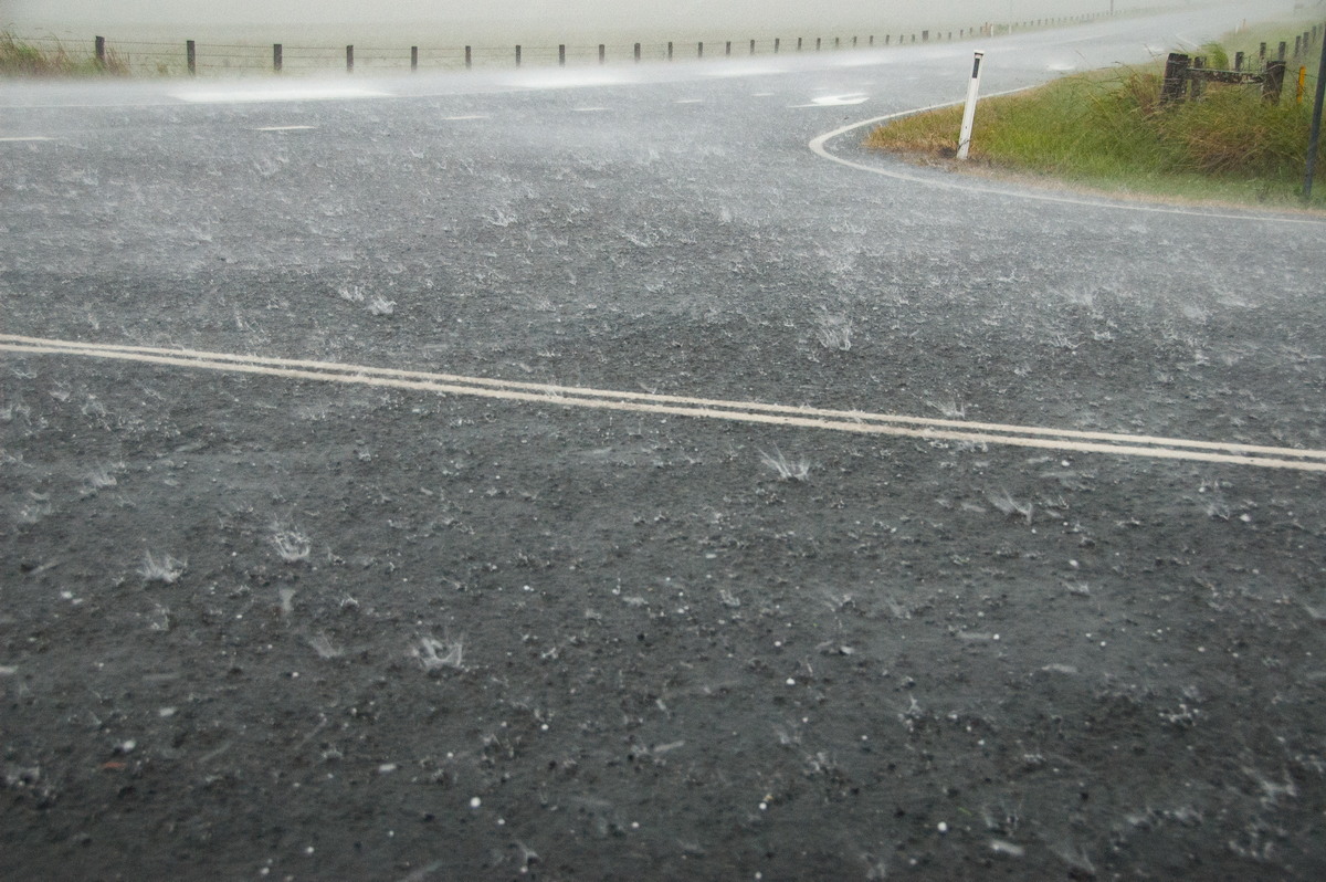
The next day more severe storms occurred in the same location but into the evening rather than mid afternoon. The lightning show was impressive.
Full sequence of photos: [27th Jan 2010] [28th Jan 2010]
|
|
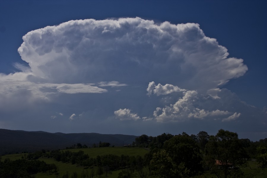
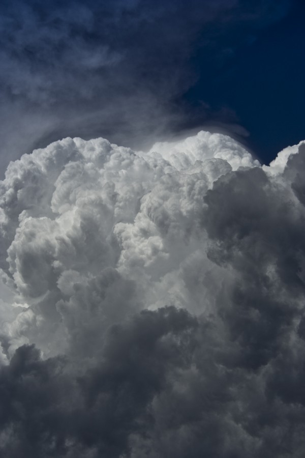
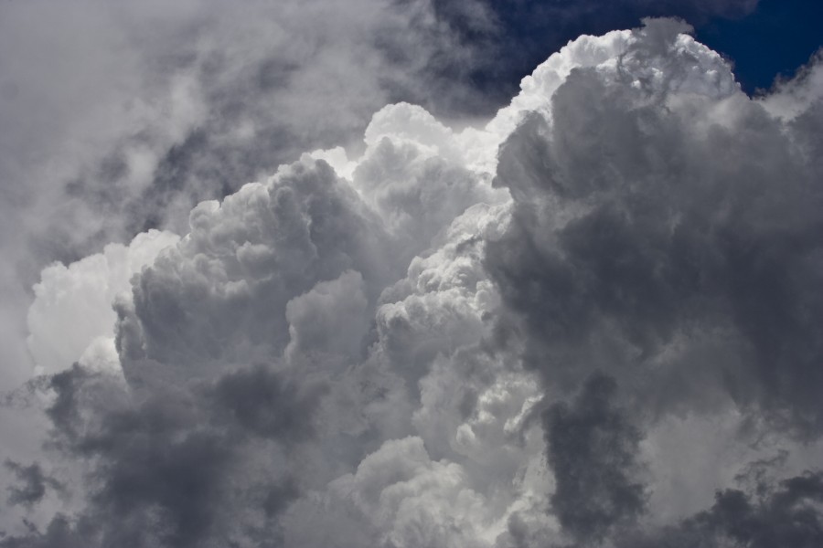
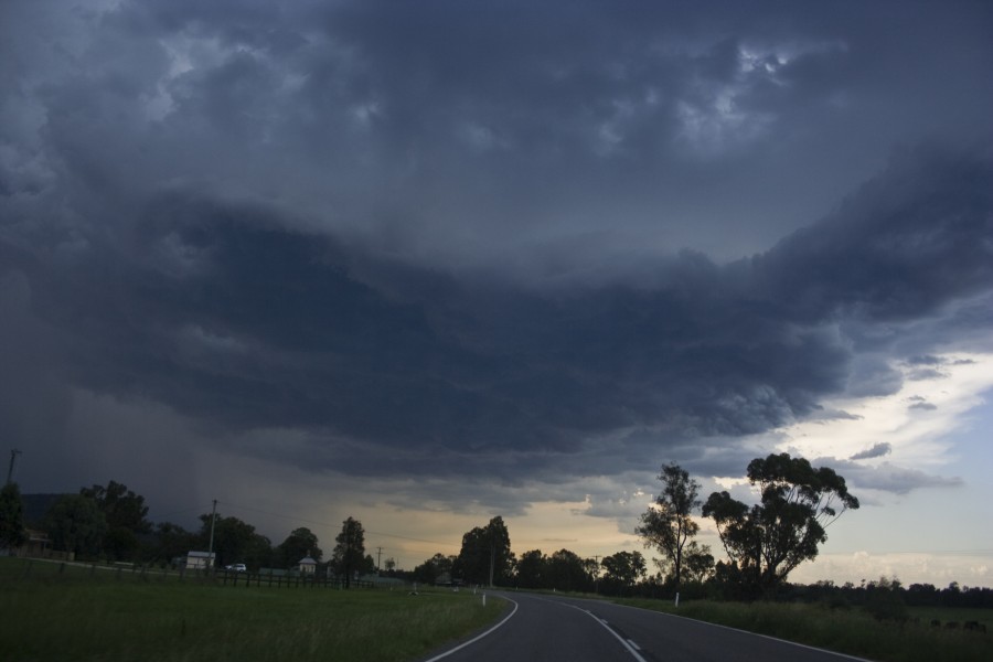
Severe Thunder- storm images of the month: January 2010 Photographs by Jimmy Deguara |
|
|
Document: arc2010.htm
Updated: Updated: 17 August 2010 |
[Australian Severe Weather index] [Copyright Notice] [Email Contacts] [Search This Site] |